125th Street (Manhattan) — Coordinates: 40°48′39″N 73°57′09″W / 40.8108°N 73.9526°W / 40.8108; 73.9526 … Wikipedia
125th Street Hudson River bridge — The 125th Street Hudson River bridge was a proposed bridge across the Hudson River between 125th Street in Manhattan, New York City and Cliffside Park or Fort Lee in New Jersey. It was never built. The bridge was proposed by a study in 1954.[1]… … Wikipedia
Street or road name — For other uses, see Street name (disambiguation). Abbey Road in London … Wikipedia
Old Sartell Bridge — The Old Sartell Bridge as viewed from the Sartell Bridge to the south. Carries Only utility lines Crosses Mississippi River … Wikipedia
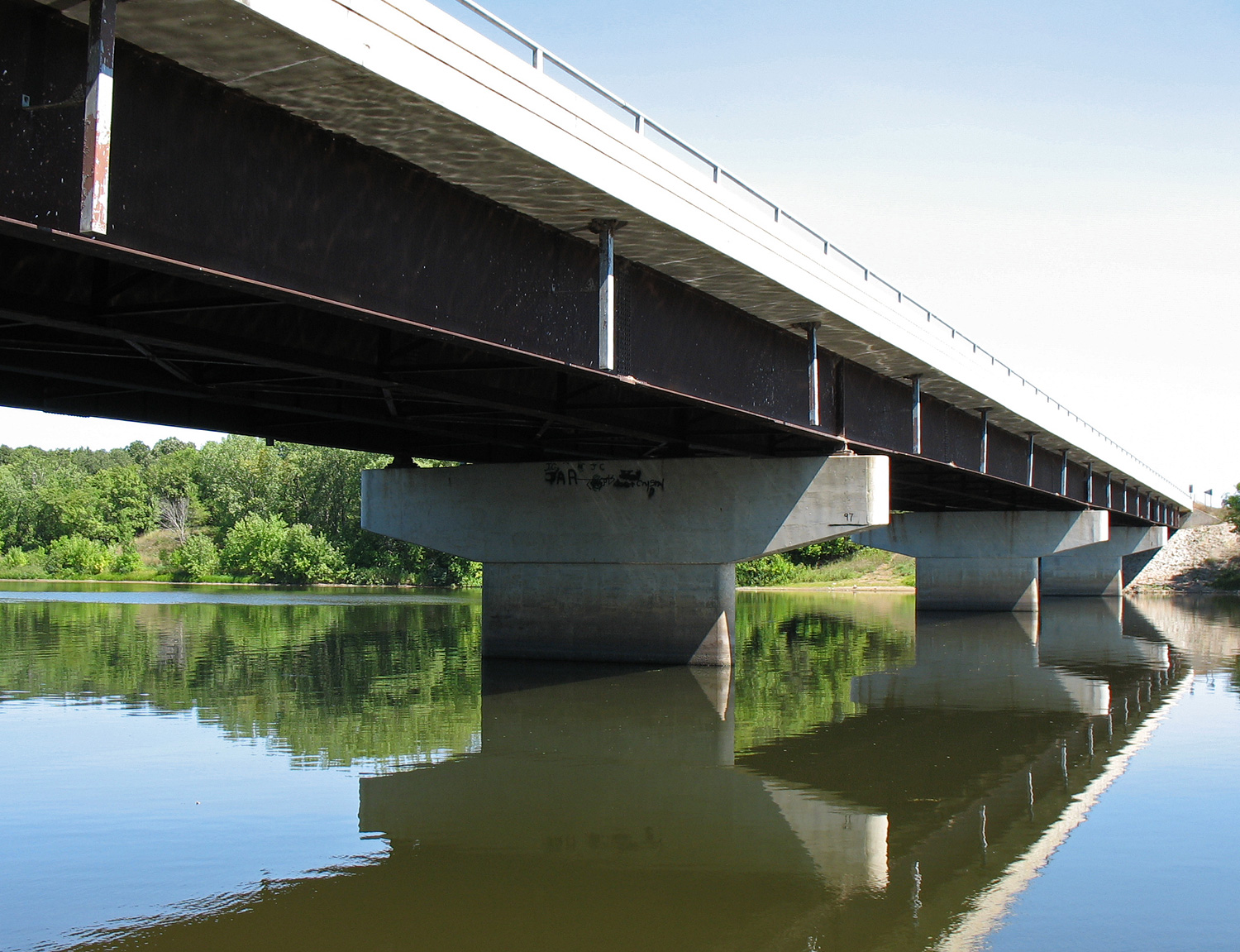
Nature Road Bridge — Carries Morrison County Road 26 (Nature Road) Crosses Mississippi River Maintained by Morrison County … Wikipedia
Robert F. Kennedy Bridge — Aerial view of the Robert F. Kennedy Bridge (left) and the Hell Gate Bridge (right). Queens is in foreground, across from Wards Island. The Robert F. Kennedy Bridge continues out of view and forks to reach both The Bronx and Manhattan … Wikipedia
175th Street (IND Eighth Avenue Line) — Infobox NYCS name = 175th Street accessible = yes bg color = #11117D line = IND Eighth Avenue Line service = Eighth far north platforms = 1 island platform tracks = 2 passengers = 3.747 million pass year = 2006 pass percent = 1 borough =… … Wikipedia
Triborough Bridge and Tunnel Authority Police — Infobox Law enforcement agency agencyname = Triborough Bridge and Tunnel Authority Police nativename = nativenamea = nativenamer = commonname = abbreviation = TBTA Police fictional = patch = TBTA Uniform Patch.jpg patchcaption = logocaption =… … Wikipedia
Spring Street (IRT Lexington Avenue Line) — Infobox NYCS name = Spring Street accessible = bg color = #007527 line = IRT Lexington Avenue Line service = Lexington local platforms = 2 side platforms tracks = 4 passengers = 3.439 million pass year=2006 pass percent=3 borough = Manhattan open … Wikipedia
LaSalle Street — Cleanup|date=October 2007Infobox road highway name = LaSalle Street marker alternate name = 140 West length = direction = North South starting terminus = Lake Shore Drive at 1700 North ending terminus = 12532 South cities = Chicago established =… … Wikipedia