- Humewood-Cedarvale
Infobox City
official_name = Humewood-Cedarvale
subdivision_type2 = Country
subdivision_name2 =Canada
subdivision_type1 = Province
subdivision_name1 =Ontario
subdivision_type = City
subdivision_name =Toronto 
mapsize=150px
map_caption=Location of Humewood-Cedarvale within Toronto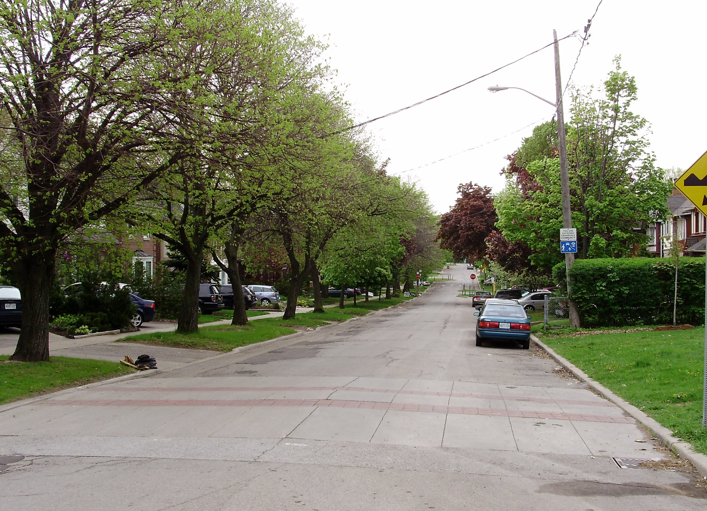
Humewood-Cedarvale is a neighbourhood in the city of
Toronto ,Ontario ,Canada , historically part of York. The neighbourhood is bordered byBathurst Street to the east,Eglinton Avenue to the north, Winnett Avenue to the west andSt. Clair Avenue to the south. The neighbourhood is often referred to by each distinct name with the north half of the neighbourhood represented by Cedarvale and the south as Humewood. The latter is sometimes nicknamed as "Wood-Hood", "The Woods", or "The Woodz" because of its many streets that have names ending with "-wood".Profile
Humewood is an upper-middle-class, very family-oriented neighbourhood. The tree-lined (and one-way) streets provide a lovely setting for children, who are exposed to very little through traffic. Humewood Park was once part of the estate of
William Hume Blake , after whom the neighbourhood is named, and is now used as social housing. Cedarvale is a wealthy community, and includes multi-million-dollar homes facing the Cedarvale Ravine.Cedarvale and Humewood are separated by
Vaughan Road , however just slightly further east is the huge Cedarvale Ravine, which was once proposed for the route of an expressway, which would have been the extension toAllen Road . At the intersection of Claxton Boulevard and Bathurst St., there is an imposing gate, built in the 1910s, which symbolized its wealth; it was originally intended to be agated community . However, due to decreased demand forreal estate duringWorld War I , and the decreasing fortune of SirHenry Pellatt , in charge of the community's construction, who could not pay the bills for the nearbyCasa Loma , the gates were never completed, causing this to be an open community, but the columns are still there. Additionally, Claxton Boulevard was to be named Connaught Ave., but only a small street connecting Vaughan Road is so named (Connaught Circle).Facilities
There are two
elementary school s in this area: Humewood and Cedarvale Community Schools, which represent the namesake portions of this neighbourhood. Arlington Middle School is also located in this community. However, there are no publicly-funded in this neighbourhood, but one can attend the nearbyVaughan Road Academy ,Oakwood Collegiate Institute , or Forest Hill Collegiate Institute. These schools are all run by theToronto District School Board . NearSt. Michael's College School , there is an apartment building thatErnest Hemingway lived in during his stay in Canada, which is now called "The Hemingway." Additionally, there are no public libraries in this neighbourhood, but one may use the Oakwood Village, the Maria Shchuka, the Wychwood, the St. Clair-Dufferin, or the Forest Hill public libraries.There is a large Jewish community in Humewood-Cedarvale (although more so in Cedarvale) at over 23% of residents with several key religious sites within walking distance (Holy Blossom Temple and Beth Tzedec Synagogue). In Cedarvale itself, Jews make up about two-thirds of the population, the highest proportion in Toronto, according to the 2001 Census, hence the lack of any Catholic schools in the area except for the nearby
St. Alphonsus Catholic elementary school in Oakwood-Vaughan.Where
Eglinton Avenue andSt. Clair Avenue enter this neighbourhood, there are many trendy restaurants, cafés, and bars along these thoroughfares.The community has some access to public transportation since it touches two subway stations: Eglinton West and St. Clair West, and the 90 Vaughan bus route passes through this neighbourhood.
Toronto Neighbourhood Geography
North = Forest Hill North
East = Forest Hill South
South =Wychwood
West =Oakwood-Vaughan
Center = Humewood-CedarvaleExternal links
* [http://www.toronto.ca/demographics/profiles_map_and_index.htm Demographic profile] at toronto.ca
* [http://www.canada.com/nationalpost/specials/posthomes/story.html?id=413f4f0b-707e-4cac-a142-55e1b1732941 National Post article on Toronto's Humewood-Cedarvale neighbourhood]
* [http://www.toronto.ca/demographics/cns_profiles/cns106.htm City of Toronto - Humewood-Cedarvale Neighbourhood Profile]
Wikimedia Foundation. 2010.