- Olivetta San Michele
-
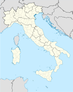
Olivetta San Michele — Comune — Comune di Olivetta San Michele Olivetta San Michele Location of Olivetta San Michele in Italy Coordinates: 43°53′N 7°31′E / 43.883°N 7.517°ECoordinates: 43°53′N 7°31′E / 43.883°N 7.517°E Country Italy Region Liguria Province Province of Imperia (IM) Area – Total 13.8 km2 (5.3 sq mi) Population (Dec. 2004) – Total 245 – Density 17.8/km2 (46/sq mi) Time zone CET (UTC+1) – Summer (DST) CEST (UTC+2) Postal code 18030 Dialing code 0184 Olivetta San Michele is a comune (municipality) in the Province of Imperia in the Italian region Liguria, located about 130 km southwest of Genoa and about 40 km west of Imperia, on the border with France. As of 31 December 2004, it had a population of 245 and an area of 13.8 km².[1]
Olivetta San Michele borders the following municipalities: Airole, Breil-sur-Roya (France), Castellar (France), and Ventimiglia.
Demographic evolution

References
Liguria · Comuni of the Province of Imperia Airole · Apricale · Aquila d'Arroscia · Armo · Aurigo · Badalucco · Bajardo · Bordighera · Borghetto d'Arroscia · Borgomaro · Camporosso · Caravonica · Carpasio · Castellaro · Castel Vittorio · Ceriana · Cervo · Cesio · Chiusanico · Chiusavecchia · Cipressa · Civezza · Costarainera · Diano Arentino · Diano Castello · Diano Marina · Diano San Pietro · Dolceacqua · Dolcedo · Imperia · Isolabona · Lucinasco · Mendatica · Molini di Triora · Montalto Ligure · Montegrosso Pian Latte · Olivetta San Michele · Ospedaletti · Perinaldo · Pietrabruna · Pieve di Teco · Pigna · Pompeiana · Pontedassio · Pornassio · Prelà · Ranzo · Rezzo · Riva Ligure · Rocchetta Nervina · San Bartolomeo al Mare · San Biagio della Cima · San Lorenzo al Mare · Sanremo · Santo Stefano al Mare · Seborga · Soldano · Cosio di Arroscia · Taggia · Terzorio · Triora · Vallebona · Vallecrosia · Vasia · Ventimiglia · Vessalico · Villa FaraldiCategories:- Cities and towns in Liguria
- Communes of the Province of Imperia
- Liguria geography stubs
Wikimedia Foundation. 2010.


