- Te Awamutu
Infobox Settlement
name =Te Awamutu
official_name =
other_name =
native_name =
nickname = T.A.
settlement_type =Town
total_type =Region
motto =
imagesize =
image_caption =
flag_size =
image_
seal_size =
image_shield =
shield_size =
image_blank_emblem =
blank_emblem_type =
blank_emblem_size =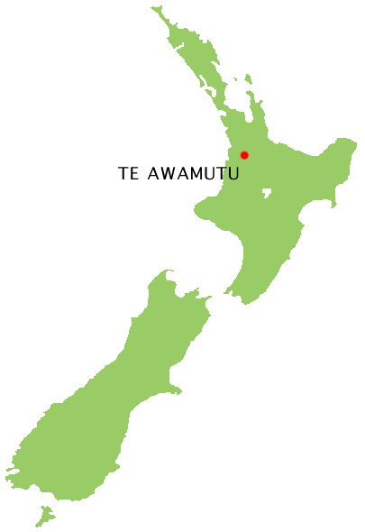
mapsize = 180px
map_caption = Location of Te Awamutu
image_dot_
dot_mapsize =
dot_map_caption =
dot_x = |dot_y =
pushpin_
pushpin_label_position =
pushpin_map_caption =
pushpin_mapsize =
government_footnotes =
government_type =
leader_title =Mayor
leader_name =Alan D Livingston
leader_title1 = Regional Council
leader_name1 =Environment Waikato
established_title =
established_date =
established_title1 =
established_date1 =
area_magnitude =
unit_pref =
area_footnotes =
area_total_km2 =
area_land_km2 =
area_water_km2 =
area_total_sq_mi =
area_land_sq_mi =
area_water_sq_mi =
area_water_percent =
area_blank1_title =
area_blank1_km2 =
area_blank1_sq_mi =
elevation_footnotes =
elevation_m =
elevation_ft =
elevation_max_m =
elevation_max_ft =
elevation_min_m =
elevation_min_ft =
population_as_of =2001 Census
population_footnotes = [ [http://www2.stats.govt.nz/domino/external/web/commprofiles.nsf/htmldocs/Te+Awamutu+Zone+Urban+Area+Community+Profile#Population] cite web
title = Statistics New Zealand - Te Awamutu Zone Urban Area Community Profile
year = 2001
publisher = [http://www.stats.govt.nz/about-us/default.htm Statistics New Zealand]
url = http://www2.stats.govt.nz/domino/external/web/commprofiles.nsf/htmldocs/Te+Awamutu+Zone+Urban+Area+Community+Profile#Population
accessdate = 2007-12-27 ]
population_note =
population_total =
population_density_km2 =
population_density_sq_mi =
population_urban = 13449
population_blank1_title = Town
population_blank1 =
timezone = NZST
utc_offset = +12
timezone_DST = NZDT
utc_offset_DST = +13
coor_type =
latd=38|latm=01|lats= |latNS=S
longd=175|longm=19 |longs= |longEW=E
postal_code_type =
postal_code =
area_code =
website = City: [http://www.teawamutu.co.nz/ teawamutu.co.nz]
Region: [http://www.ew.govt.nz http://www.ew.govt.nz]
footnotes =
blank_name =
blank_info =Te Awamutu is a town in the
Waikato on theNorth Island ofNew Zealand . It is the council seat of theWaipa District and serves as a service town for the farming communities which surround it. It has a population of just under 14,000.Te Awamutu is located some 30 km south of Hamilton on State Highway 3, one of the two main routes south from
Auckland and Hamilton. The town has a largedairy factory, and is known locally for itsrose displays. The name literally means in English "The River's End".The town is on gently undulating land close to the banks of a tributary of the
Waipa River . TheWaikato Plains lie to the north and east, and thepromontory ofMount Pirongia , 20 kilometres to the west, is easily visible.Te Awamutu was a major site during the
New Zealand land wars of the 19th century, serving as agarrison town for the colonial settlers.The town's best known sons are the Finn brothers, Tim and Neil, whose musical careers have stretched from
Split Enz through the internationally successfulCrowded House to their current solo and collaborative works. The town is mentioned in Split Enz's song "Haul Away", and also in Crowded House's 1986 song "Mean To Me", the debut single off their self-titled debut album.Te Awamutu Museum contains one of the most famous early
Māori artefacts, a large carved post known simply as "Te Uenuku". This impressive carving has caused much controversy because its style is markedly different from any other early Māori work, yet it is clearly of a Māori design.The main thoroughfare is Alexandra Street, so named because it was once the main road to the town of Alexandra (since renamed to
Pirongia to avoid confusion with the town of Alexandra in theSouth Island ).Other towns surrounding Te Awamutu include Cambridge, 25 kilometres to the northeast, Otorohanga, 30 kilometres to the southwest, and Raglan 50 kilometres to the northwest. The small town of
Kihikihi lies just to the south of Te Awamutu.References
External links
* [http://www.teawamutu.co.nz/ teawamutu.co.nz]
Wikimedia Foundation. 2010.