- Traill Island
Infobox Islands
name = Traill Island
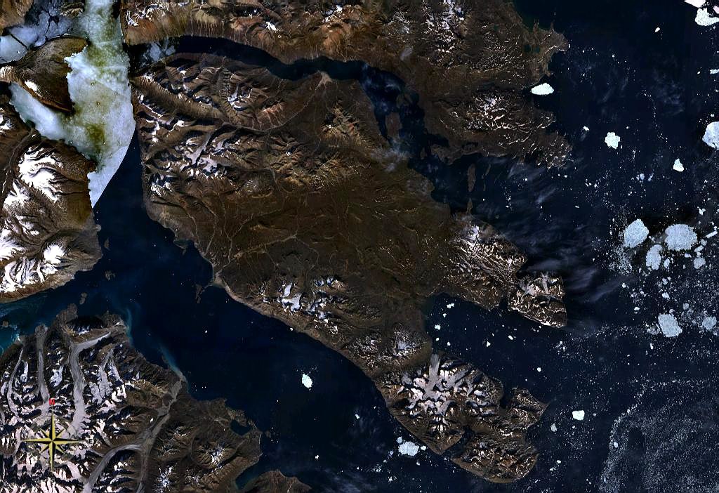
image caption = Traill Island seen from space.King Oscar Fjord to the south.
image size =
locator
Location map|Greenland|lat=72.55|long=-23.583333
map_custom = yes
native name = Traill Ø
native name link = Danish language
nickname =
location = East-Greenland
coordinates = coord|72|33|N|23|35|W|type:isle|display=inline,title
archipelago =
total islands =
major islands =
area = convert|3452|km2|sqmi|0|lk=on|abbr=on
highest mount = "Unnamed" [ [http://www.peakbagger.com/peak.aspx?pid=713 Traill High Point ] ]
elevation = convert|1884|m|ft|0|abbr=on|lk=on
country = Greenland
country admin divisions title = County
country admin divisions =Tunu
country admin divisions title 1 =
country admin divisions 1 =
country admin divisions title 2 =
country admin divisions 2 =
country capital city =
country largest city =
country largest city population =
country leader title =
country leader name =
country 1 =
country 1 admin divisions title =
country 1 admin divisions =
country 1 capital city =
country 1 largest city =
country 1 largest city population =
country 1 leader title =
country 1 leader name =
country 2 =
country 2 admin divisions title =
country 2 admin divisions =
country 2 capital city =
country 2 largest city =
country 2 largest city population =
country 2 leader title =
country 2 leader name =
population = 0
population as of =
density =
ethnic groups =Traill Island ( _da. Traill Ø) is a large island in eastern
Greenland . It is named after zoologistThomas Stewart Traill . The highest point of the island is 1884 m. Traill Island is a part of theNortheast Greenland National Park .References
Wikimedia Foundation. 2010.