Cuba — This article is about the country. For other uses, see Cuba (disambiguation). Republic of Cuba República de Cuba … Wikipedia
Cuba — Cuban, adj., n. /kyooh beuh/; Sp. /kooh vah/, n. a republic in the Caribbean, S of Florida: largest island in the West Indies. 10,999,041; 44,218 sq. mi. (114,525 sq. km). Cap.: Havana. /kooh bah/, n. Cubba. * * * Cuba Introduction Cuba… … Universalium
List of islands in the Caribbean — This is a list of islands of the Caribbean region, organized by the political territory each island belongs to.Anguilla* Anguilla * Anguillita * Blowing Rock * Cove Cay * Crocus Cay * Deadman s Cay * Dog Island * East Cay * Little Island * Little … Wikipedia
Isla de la Juventud — Geobox Region name = Isla de la Juventud native name = other name = other name1 = category = image size = image caption = flag size = symbol = symbol size = country = CUB state = region = district = capital = Nueva Gerona capital type = Capital… … Wikipedia
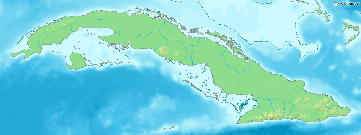
Gulf of Batabanó — The Gulf of Batabanó (Spanish: Golfo de Batabanó ; pronounced bah tah bah NO ), also called the Batabanó Gulf, is an inlet or strait off southwestern Cuba in the Caribbean Sea, separating mainland Cuba from the Isle of Youth. It is located at… … Wikipedia
List of places in Cuba — A list of places in Cuba: Cities *Camagüey *Cienfuegos *Guantánamo *Havana *Holguín *Matanzas *Pinar del Río *Placetas *Santa Clara *Santiago de Cuba Provinces * Camagüey Province * Ciego de Ávila Province * Cienfuegos Province * Ciudad de La… … Wikipedia
Portal:Cuba — Wikipedia portals: Culture Geography Health History Mathematics Natural sciences People Philosophy Religion Society Technology … Wikipedia
Garrido's Hutia — Conservation status Critically Endangered (IUCN 3.1)[1] … Wikipedia
Cayo Largo del Sur — Location map|Cuba1 lon dir = W lat dir = N lat deg = 21 lat min = 38 lat sec = 00 lon deg = 81 lon min = 28 lon sec = 00 Alternative caption = Location of Cayo Largo del Sur in Cuba width = 280Cayo Largo del Sur, also known simply as Cayo Largo,… … Wikipedia
Batabanó, Cuba — Infobox Settlement official name = Batabanó other name = native name = nickname = settlement type = Municipality motto = imagesize = image caption = flag size = image seal size = image shield = shield size = city logo = citylogo size = mapsize =… … Wikipedia