Paatsjoki

Paatsjoki

Infobox_River
river_name = Paatsjoki River


image_size =
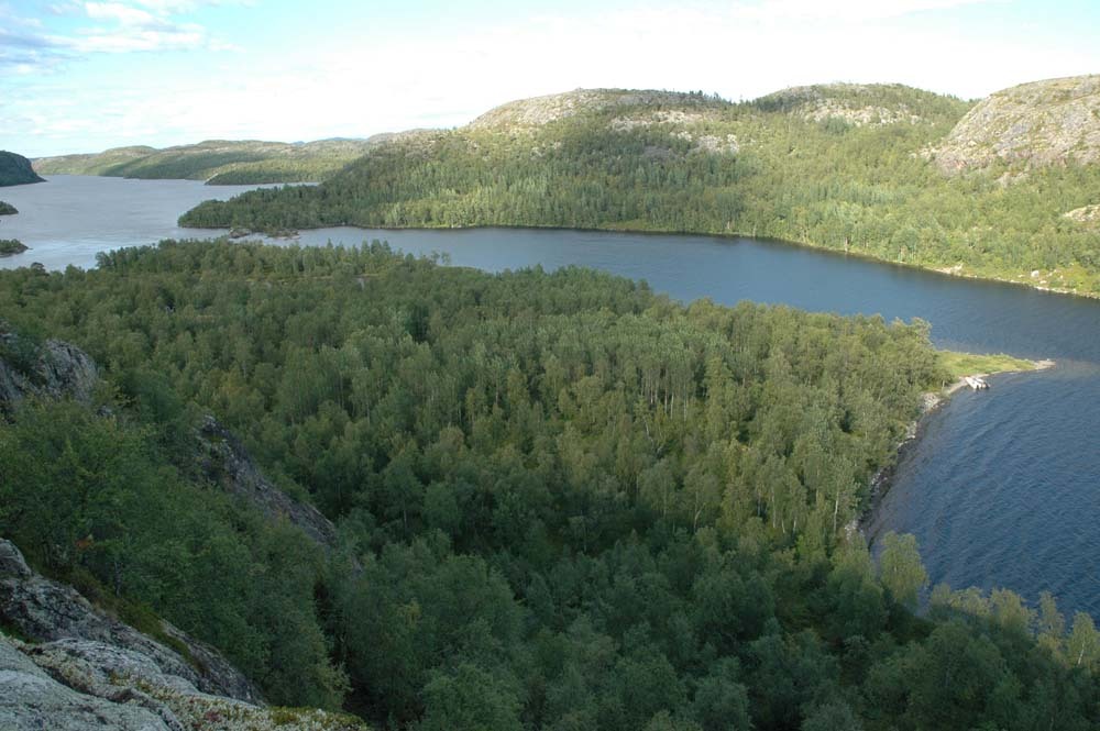
caption = Harefossen and the Paatsjoki River
origin = Lake Inari
mouth = Varangerfjord
basin_countries = flagicon|Finland Finland
flagicon|Norway Norway
flagicon|Russia Russia
length = 145 km
elevation =
mouth_elevation =
discharge =
watershed = 18,404 km²

The Paatsjoki River ( _fi. Paatsjoki, _sm. Paajokk, _sm. Báhaveaijohka, _no. Pasvikelva, _sv. Pasvik älv, _ru. Паз or Патсойоки) is the outlet from Lake Inari in Finland and flows through Norway and Russia to discharge into the Varangerfjord, not far from Kirkenes. The Varangerfjord connects with the Barents Sea. It has a watershed of 18,404 km², and is 145 km long.

A series of hydroelectric stations, known as the Paatsjoki River Hydroelectric Plants, are located on the river.

Since the end of the Continuation War in 1944, the river has marked parts of the border between Norway and Russia.

The river provides good fishing opportunities for Atlantic salmon, although fishermen must ensure that their fishing lines do not cross the border.


Wikimedia Foundation. 2010.

Игры ⚽ Нужно решить контрольную?

Look at other dictionaries:

  • Paatsjoki — Pasvikelva / Паз / Báhčeveaijohka HarefossenVorlage:Infobox Fluss/KARTE fehlt Daten …   Deutsch Wikipedia

  • Paatsjoki — 68° 53′ 08″ N 28° 17′ 35″ E / 68.8856, 28.2931 …   Wikipédia en Français

  • Paatsjoki River Hydroelectric Plants — The Paatsjoki River hydroelectric power plants are a series of hydroelectric installations on the Paatsjoki River.DescriptionThe Paatsjoki River flows from Lake Inari in Finland and for most of its duration, it marks the border between Russia and …   Wikipedia

  • Pasvikelva — Paatsjoki Paatsjoki (Pasvikelva, Паз (Paz)) Paatsjoki Caractéristiques Longueur 145 km Bassin …   Wikipédia en Français

  • Паатсиоки, Пазрека — (Paatsjoki) большая река, вытекающая из озера Инари и впадающая в залив Пасвигсфиорд (Pasvigsfjord) Ледовитого океана. П. имеет до 30 высоких и бурных порогов. Верхнее течение ее принадлежит Финляндии, небольшая часть берега с часовней Бориса и… …   Энциклопедический словарь Ф.А. Брокгауза и И.А. Ефрона

  • Pasvikelva — Vorlage:Infobox Fluss/DGWK fehltKoordinaten fehlen! Hilf mit.Vorlage:Infobox Fluss/FLUSSSYSTEM fehltVorlage:Infobox Fluss/ABFLUSS fehltVorlage:Infobox Fluss/KARTE fehlt Paatsjoki Harefossen …   Deutsch Wikipedia

  • Pasvikelva — Paatsjoki Harefossen y el río Pasvikelva. País que atraviesa …   Wikipedia Español

  • Inari-See — Inarijärvi Geographische Lage: Finnischer Teil Lapplands Zuflüsse …   Deutsch Wikipedia

  • Inari (Finnland) — Inarin kunta Wappen Karte Basisdaten Staat …   Deutsch Wikipedia

  • Inarisee — Inarijärvi Geographische Lage: Finnischer Teil Lapplands Zuflüsse …   Deutsch Wikipedia

Share the article and excerpts

Direct link
Do a right-click on the link above
and select “Copy Link”