- Spišské Vlachy
Geobox|Settlement
name = Spišské Vlachy
native_name =
other_name =
category = Town
etymology =
official_name =
motto =
nickname =
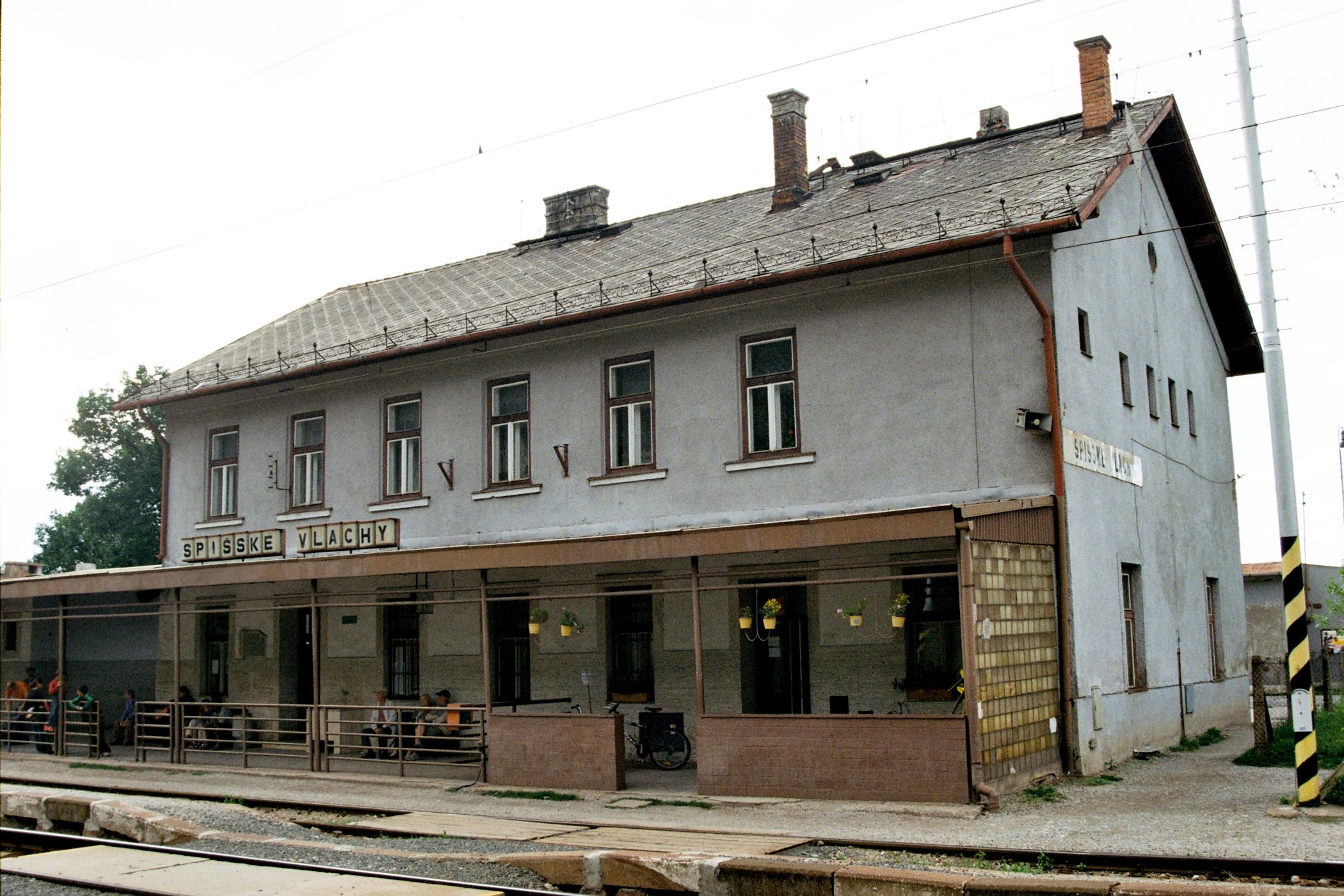
image_caption = Train station
symbol = Spisské Vlachy erb.jpg
country = Slovakia
country_
state =
region = Košice
district = Spišská Nová Ves
municipality =
landmark =
river = Hornád
location =
elevation = 389
prominence =
lat_d =48 | lat_m =56 | lat_s =59 | lat_NS =N
long_d =20 | long_m =47 | long_s =50 | long_EW =E
highest =
highest_location = | highest_region = | highest_state =
highest_elevation =
highest_lat_d = | highest_lat_m = | highest_lat_s = | highest_lat_NS =
highest_long_d = | highest_long_m = | highest_long_s = | highest_long_EW =
lowest =
lowest_location = | lowest_region = | lowest_state =
lowest_elevation =
lowest_lat_d = | lowest_lat_m = | lowest_lat_s = | lowest_lat_NS =
lowest_long_d = | lowest_long_m = | lowest_long_s = | lowest_long_EW =
length = | length_orientation =
width = | width_orientation =
area = 42.214
area_land =
area_water =
area_urban =
area_metro =
population =3596
population_date =31 December 2005
population_urban =
population_metro =
population_density = auto
population_density_urban =
population_density_metro =
established =1243
established_type = First mentioned
date =
government =
government_location = | government_region = | government_state =
government_elevation =
government_lat_d = | government_lat_m = | government_lat_s = | government_lat_NS =
government_long_d = | government_long_m = | government_long_s = | government_long_EW =
mayor = Ľubomír Fifik
leader =
timezone =
map_caption = Location of Spišské Vlachy within Slovakia
map_background = Slovakia - background map.png
map_locator_x =
map_locator_y =
website = http://www.spisskevlachy.sk
commons =
footnotes =Source: [http://www.statistics.sk/mosmis/eng/run.html Mestská a obecná štatistika SR ] ]Spiśské Vlachy ( _hu. Szepesolaszi, _de. Wlachi, "Wlachy" or "Wallendorf", latin: "Villa Latina") is a town in eastern Slovakia. It is in the
Spiš region ("Szepes" in Hungarian or "Zips" in German). It is now administratively in the district of Spišská Nová Ves, which is part of theKošice Region . The adjective "Spišské" is used to distinguish it from 6 other towns listed as "Olasz" or "Olaszi" in a 1828 Hungarian property tax list. Two “Town wards” (suburbs) belong to Spišské Vlachy:
* Dobra Voľa lies to the north and
* Zahura lies to the south.Geography
It is situated just north of the
Hornád River, near its confluence with the Margencanka stream. It is about 12.5 miles (20 km) east ofSpišská Nová Ves and about 26 miles (42 km) northwest of Košice. It is 389 meters above sea level and is located at 48 degrees 57 minutes North and 20 degrees 48 minutes East. It has a temperate climate. Its average temperature is about 43 degrees Fahrenheit (6 degrees Celsius). The annual rainfall is 25.6 inches (650 millimeters). The soil is favorable for meadows with more fertile land to the south. The southern outskirts have caves and small lakes on the Svätojanský (English: Saint John's) stream.References
External links
* [http://www.spisskevlachy.sk Municipal website]


Wikimedia Foundation. 2010.