- Farragut West (Washington Metro)
Infobox Station
name = Farragut West

logo_size = 50px
image_size =
image_caption =
address = 900 18th Street, NorthwestWashington, D.C. 20006
line =
other =
platform = 2side platforms
tracks = 2
parking =
bicycle = 4 racks
passengers = 8.992 million
pass_year = 2001
pass_percent = 0
opened =July 1 ,1977
rebuilt =
ADA = Yes
code = C03
owned =Washington Metropolitan Area Transit Authority
zone =
services =
mpassengers =Farragut West is a
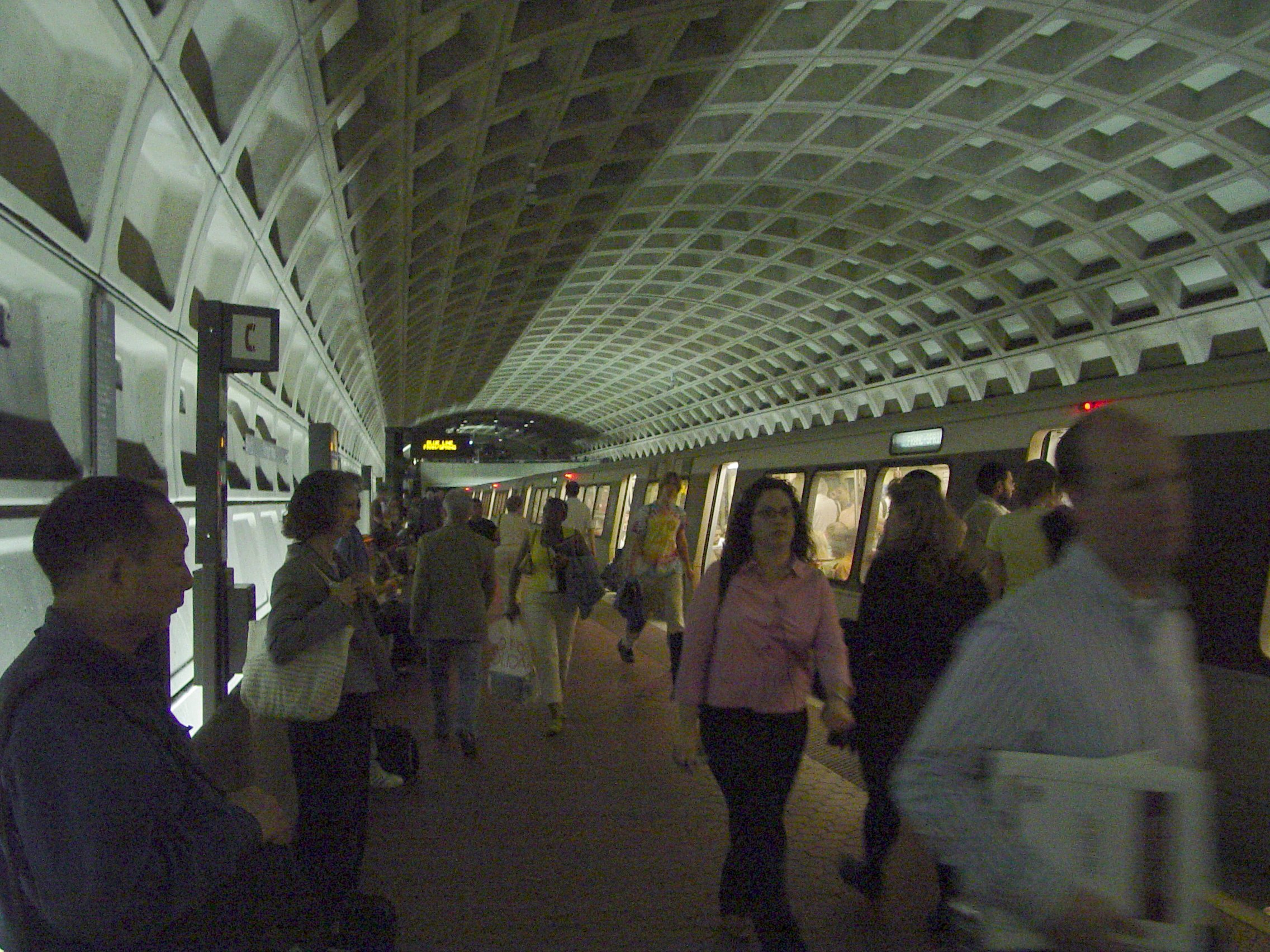
Washington Metro station inWashington, D.C. on the Blue and Orange Lines. It will also be on the Silver Line route, which is scheduled to start operations in 2011.The station serves downtown Washington, just west of
Farragut Square with two entrances on I Street at 17th and 18th Streets, Northwest. It is only a block away (across the Square) from Farragut North station; however, there is no direct connection between the two stations. As part of its long-term capital improvement plan datedSeptember 12 ,2002 , Metro has proposed building an underground pedestrian tunnel connecting this station with Farragut North.Service began on
July 1 ,1977 with the inauguration of the Blue Line. This was the first station in the system to open without any pylons along the platform. Information normally found on the pylons is located on wall plaques. It is the fourth-busiest station in the Metrorail system, averaging 25,000 passengers per weekday as of May 3, 2006.cite web |title=Request for Expressions of Interest for Operation of Retail Services in Metrorail Stations |publisher=WMATA |date=2007-02-16 |url=http://www.wmata.com/bus2bus/reoi/reoi.pdf]Notable places nearby
*
American Legion Headquarters
*Center for Strategic and International Studies
*Farragut Square
*International Monetary Fund
*Mayflower Hotel
*National Geographic Society
*Octagon Museum (American Institute of Architects )
*World Bank Bus Routes
Metrobus
* 11Y
* 16Y
* 31
* 32, 36
* 37
* 38B
* 39
* 3Y
* 42
* 80
* D1, D3, D6
* D5
* G8
* L2
* N2, N4, N6
* P17, P19
* S1
* W13Loudoun County Commuter Bus
* Loudoun CountyOmniRide Commuter Bus
* OmniRideReferences
External links
* WMATA: [http://www.wmata.com/metrorail/Stations/station.cfm?station=38 Farragut West Station]
* StationMasters Online: [http://www.stationmasters.com/System_Map/FARRAGTW/farragtw.html Farragut West Station]
* The Schumin Web Transit Center: [http://transit.schuminweb.com/rail/washington/blue-line.asp?station=C03 Farragut West Station]
* Farragut West (Washington Metro) is at coordinates:
** coord|38.901212|-77.039223|type:railwaystation|name=Farragut West (Washington Metro) - 17th Street Entrance 17th Street Entrance
** coord|38.901452|-77.041792|type:railwaystation|name=Farragut West (Washington Metro) - 18th Street Entrance 18th Street Entrance
Wikimedia Foundation. 2010.