- Misquamicut State Beach
-
 The state beach in August 2010
Misquamicut State Beach is a state park in Westerly Rhode Island. It is a part of Misquamicut Beach which is a seven mile length of beach that stretches from Weekapaug in the east, westward to Watch Hill, which was called Noyes Beach after Reverend James Noyes from the 18th century to the late 1890s. Watch Hill is also a small district in Washington County. Misquamicut is in southern Washington County and is part of the town of Westerly, Rhode Island. Misquamicut is an Indian word for "Red salmon at this place." Misquamicut is a public state beach where lifeguards are on duty for some of the year. Misquamicut has many swimming and surfing shops, and some of them carry snacks for people on the beach.
The fire district known as Misquamicut was once called Pleasant View, Rhode Island. The land was purchased from Chief Sosoa of the Montauks in 1894. The name was changed from Pleasant View to Misquamicut in 1928.
Misquamicut Beach became a state beach in 1959 after the 1954 hurricane had destroyed and forever changed many parts of it. In 1992 State beach area was nearly forced to close when their forty year old septic system broke. The division of parks and beaches was not allowed to build a new septic field so they switched to a waterless form of waste management. Then in 1999 the state of Rhode Island built a 1.5 million dollar bathing pavilion (The James J. Federico Jr. State Beach Pavilion) with heated shower stalls and Clivus Multrum composting toilets. It also included a gift shop, shade gazebos, lifeguard towers and outdoor cold showers. The building project was completed in 2000 with a $700,000 expansion and paving of the parking lot. The lot now holds up to 2700 cars. It is the site of the Misquamicut Music Festival held each year and presented by the Misquamicut Business Association. Featured performers since 2005 have included Jefferson Starship, Davy Jones, Jan and Dean and Eric Burdon and the Animals as well as 2 American Idol contestants.
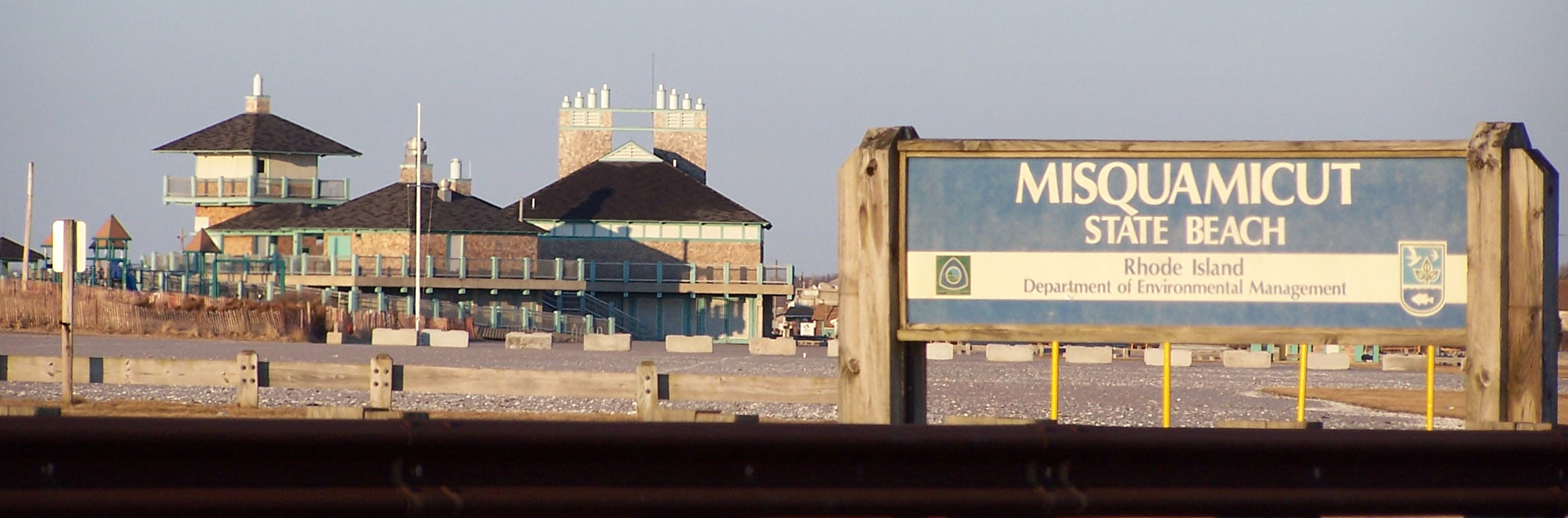
 Misquamicut State Beach in March 2007
External links
- Misquamicut Business Association
- The Greater Westerly-Pawcatuck Chamber of Commerce
- Town of Westerly Official Website
- Misquamicut Fire District
Protected Areas of Rhode Island Federal State Arcadia · Beavertail · Blackstone River Bikeway · Brenton Point · Burlingame · Colt · East Bay Bike Path · Fishermen's Memorial · Fort Adams · Fort Wetherill · George Washington · Goddard Memorial · Haines Memorial · Lincoln Woods · Pulaski · Snake Den · World War II MemorialCharlestown Breachway · East Beach · East Matunuck · Fort Adams · Goddard Memorial · Misquamicut · Roger Wheeler · Salty Brine · ScarboroughLincoln Woods • George Washington Memorial • WickaboxetRhode Island State Parks (web)Categories:- Rhode Island state parks
- Westerly, Rhode Island
- Beaches of Rhode Island
- Landforms of Washington County, Rhode Island
- Protected areas established in 1954
- Protected areas of Washington County, Rhode Island

Wikimedia Foundation. 2010.