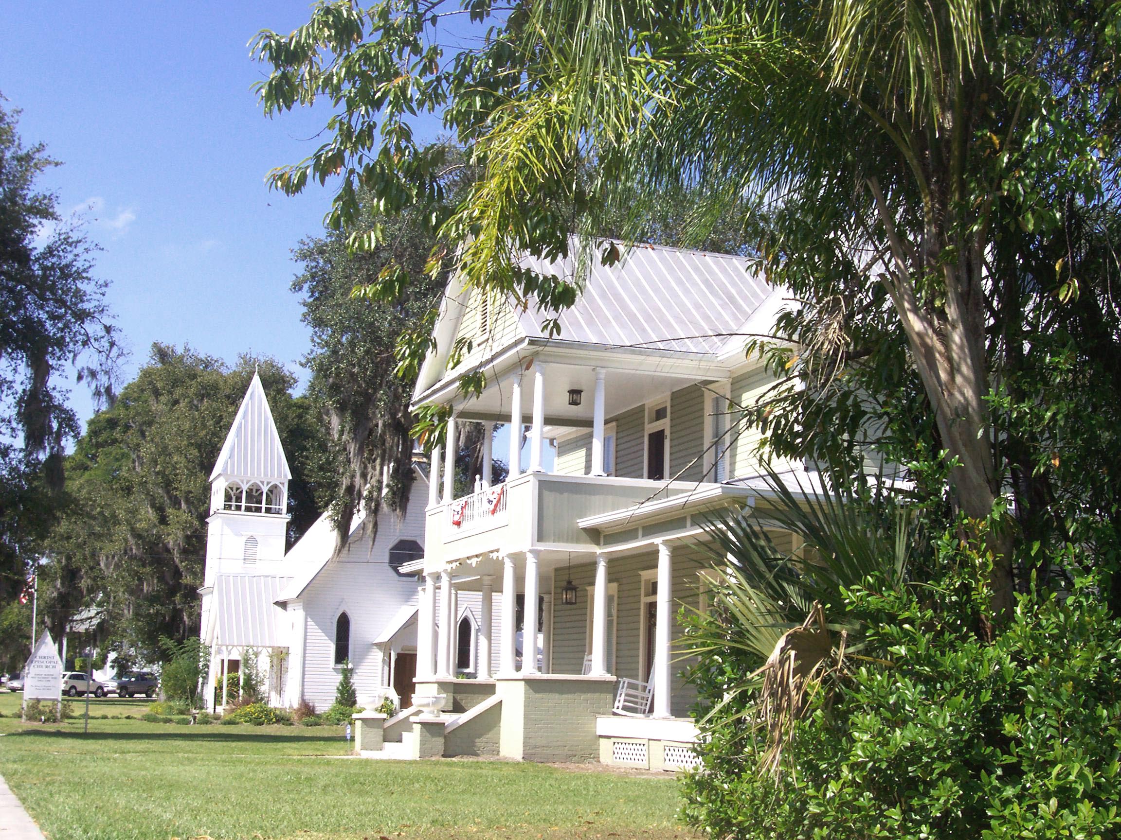
Fort Meade Historic District
- Fort Meade Historic District
Infobox nrhp2
name = Fort Meade Historic District
nhd = yes

caption = Reid House, historic home in the district
location = Fort Meade, Florida
lat_degrees =
lat_minutes =
lat_seconds =
lat_direction = N
long_degrees =
long_minutes =
long_seconds =
long_direction = W
area = convert|1000|acre|km2
built =
architect =
architecture =
added = July 29, 1994
refnum = 94000781
visitation_num =
visitation_year =
governing_body = Private, local government
The Fort Meade Historic District is a U.S. historic district (designated as such on July 29, 1994) located in Fort Meade, Florida. The district is bounded by North 3rd Street, Orange Avenue, South 3rd Street and Sand Mountain Road. It contains 151 historic buildings.
External links
* [http://www.nationalregisterofhistoricplaces.com/FL/Polk/districts.html Polk County listings] at [http://www.nationalregisterofhistoricplaces.com National Register of Historic Places]
Wikimedia Foundation.
2010.
Look at other dictionaries:
Old Fort Meade School House — U.S. Historic district Contributing property … Wikipedia
Fort Meade, Florida — Infobox Settlement official name = Fort Meade, Florida other name = native name = nickname = settlement type = City motto = imagesize = image caption = flag size = image seal size = image shield = shield size = image blank emblem = blank emblem… … Wikipedia
Fort Miles — Infobox nrhp | name =Fort Miles Historic District nrhp type = hd caption = A gun battery at Fort Miles, Circa 1973 nearest city= Lewes, Delaware lat degrees = 38 lat minutes = 46 lat seconds = 15 lat direction = N long degrees = 75 long minutes … Wikipedia
National Register of Historic Places listings in Polk County, Florida — Location of Polk County in Florida This is a list of the National Register of Historic Places listings in Polk County, Florida. This is intended to be a complete list of the properties and districts on the National Register of Historic Places in… … Wikipedia
Fort Benjamin Harrison — Infobox nrhp | name =Fort Benjamin Harrison Historic District nrhp type =hd caption = Graduates of the U.S. Army Chaplain School at Fort Benjamin Harrison pose for a photograph, April 1942. location= Indianapolis, Indiana area = built =1908… … Wikipedia
National Register of Historic Places listings in Arlington County, Virginia — Map of all coordinates from Google Map of all coordinates from Bing … Wikipedia
National Register of Historic Places listings in Kenton County, Kentucky — Location of Kenton County in Kentucky This is a list of the National Register of Historic Places listings in Kenton County, Kentucky. This is intended to be a complete list of the properties and districts on the National Register of Historic… … Wikipedia
List of Registered Historic Places in Kentucky (Jackson County to Lyon County) — List of Registered Historic Places in Kentucky (Jackson County to Lyon County). Links in italic lead to a new page. NOTOC :: Kentucky NRHP date for lists This list is intended to provide a comprehensive listing of Registered Historic Places… … Wikipedia
National Register of Historic Places listings in Coconino County, Arizona — Location of Coconino County in Arizona This is a list of the National Register of Historic Places listings in Coconino County, Arizona. It is intended to be a complete list of the properties and districts on the National Register of Historic… … Wikipedia
Fort Fisher — Infobox Military Structure name=Fort Fisher partof= location=Wilmington, North Carolina coordinates= caption=Fort Fisher (painting/excerpt 1890): shows stylized earthen walls along the Northern Bastion. type= code= built=1861 builder= materials=… … Wikipedia

