Palatka North Historic District
- Palatka North Historic District
Infobox nrhp2
name = Palatka North Historic District
nhd = yes
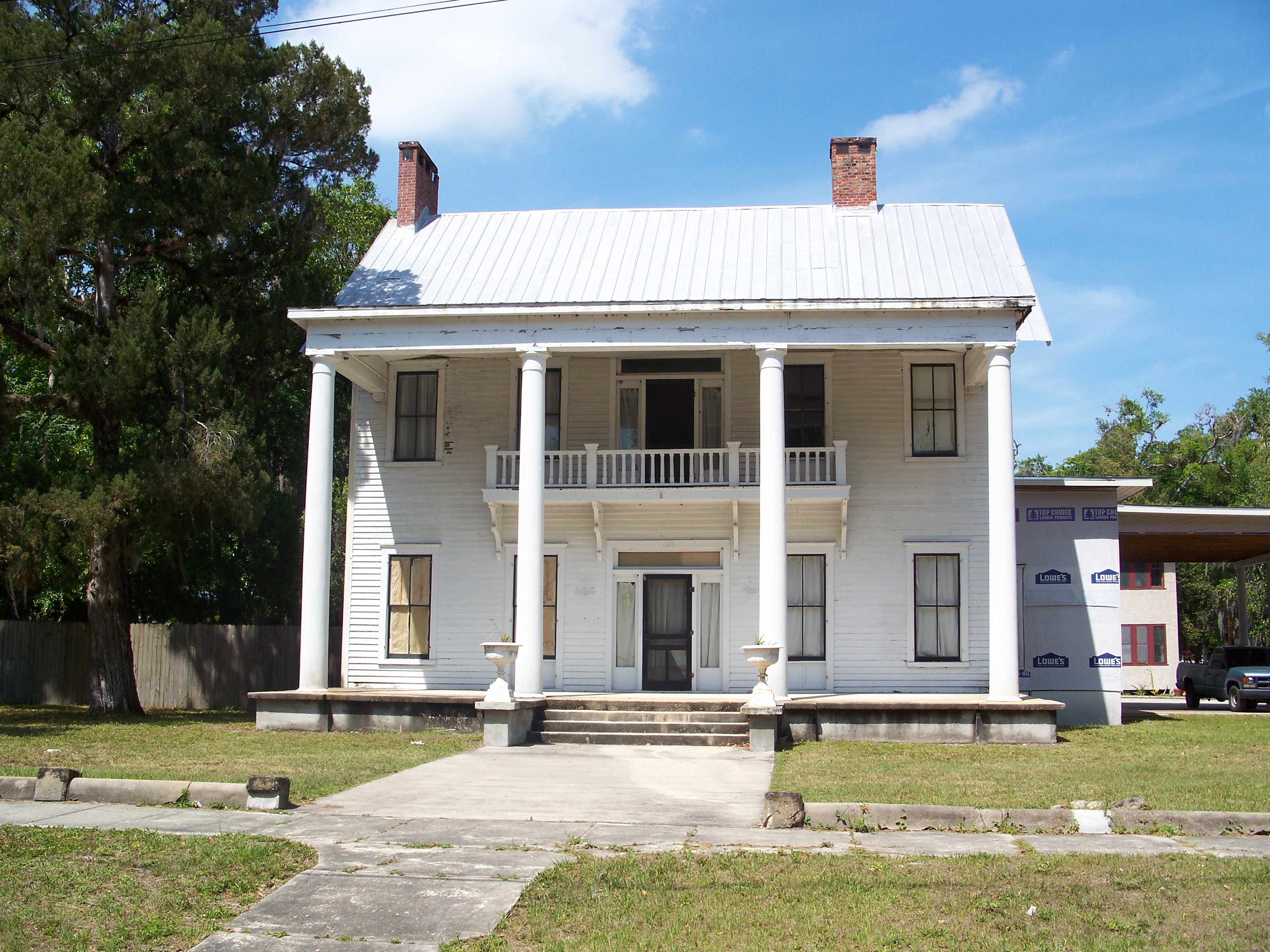
caption = House in the district
location = Palatka, Florida
lat_degrees =
lat_minutes =
lat_seconds =
lat_direction =
long_degrees =
long_minutes =
long_seconds =
long_direction =
area = 350 acres
added = November 17, 1983
visitation_num =
visitation_year =
governing_body =
The Palatka North Historic District is a U.S. historic district (designated as such on November 17, 1983) located in Palatka, Florida. The district is bounded by the St. Johns River, Bronson, North 1st, North 5th, and Main Streets. It contains 76 historic buildings, including the Bronson-Mulholland House and St. Mark's Episcopal Church.
External links
* [http://www.nationalregisterofhistoricplaces.com/FL/Putnam/districts.html Putnam County listings] at [http://www.nationalregisterofhistoricplaces.com National Register of Historic Places]
Wikimedia Foundation.
2010.
Look at other dictionaries:
Crescent City Historic District — U.S. National Register of Historic Places U.S. Historic district … Wikipedia
Palatka (Amtrak station) — Palatka Union Depot Amtrak Service Historic Palatka Union Depot … Wikipedia
Palatka, Florida — Infobox Settlement official name = Palatka, Florida other name = native name = nickname = settlement type = City motto = imagesize = image caption = Palatka City Hall flag size = image seal size = image shield = shield size = image blank emblem … Wikipedia
Palatka — 30° 58′ 40″ N 87° 15′ 41″ W / 30.977778, 87.261389 … Wikipédia en Français
National Register of Historic Places listings in Putnam County, Florida — Location of Putnam County in Florida This is a list of the National Register of Historic Places listings in Putnam County, Florida. This is intended to be a complete list of the properties and districts on the National Register of Historic Places … Wikipedia
Downtown Palatka — is the central business district of Palatka, Florida. According to the Palatka Community Redevelopment Agency, the district is bounded by Main Street to the north, Laural Street to the south, the St. Johns River to the east, and Eleventh Street… … Wikipedia
Memorial Bridge (Palatka, Florida) — Memorial Bridge Official name Memorial Bridge Carries 4 lanes of SR 100 and US 17 2 sidewalks Crosses … Wikipedia
Newtown (Palatka) — Newtown is a neighborhood of Palatka, Florida located west of downtown and includes portions of the central business district. The neighborhood was originally established as an African American community in the mid 1800 s. Central Academy,… … Wikipedia
National Register of Historic Places listings in Jefferson County, Kentucky — Location of Jefferson County in Kentucky This is a list of the National Register of Historic Places listings in Jefferson County, Kentucky. It is intended to be a complete list of the properties and districts on the National Register of Historic… … Wikipedia
Crescent City, Florida — City North Summit Street at East Central Aven … Wikipedia