- Apples, Vaud
Infobox Swiss town
subject_name = Apples
municipality_name = Apples
municipality_type = municipality
imagepath_coa = COA_CH_Vaud_Apples.png|pixel_coa=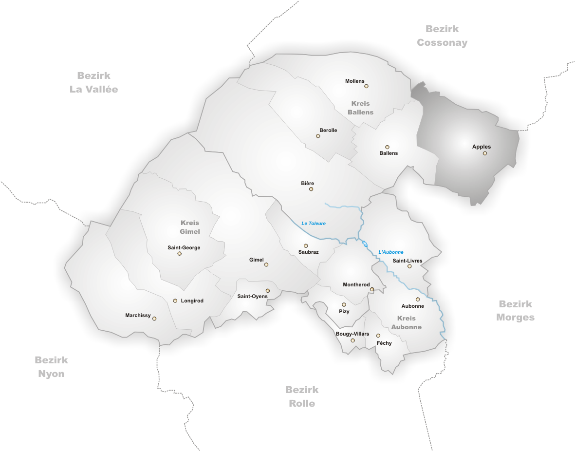
languages = French
canton = Vaud
iso-code-region = CH-VD
district = Morges
lat_d=46|lat_m=33|lat_NS=N|long_d=06|long_m=26|long_EW=E
postal_code = 1143
municipality_code = 5421
area = 12.89
elevation = 635|elevation_description=
population = 1142|populationof=2004
website = www.apples.ch
mayor = Claude-Alain Roulet|mayor_asof=|mayor_party=
mayor_title = |list_of_mayors =
places =
demonym = Les Caque à part
Lè Caca-pai
neighboring_municipalities=Pampigny ,Sévery , Colombier (VD),Clarmont ,Reverolle ,Bussy-Chardonney ,Yens ,Ballens , Mollens (VD)
twintowns = |Apples is a municipality in the district of Morges in the canton of
Vaud inSwitzerland .Geography
Apples is located at 630 m
above mean sea level (ASML), 7km northwest of the city ofMorges . The scattered villages of Apples span a knoll on the edge of a plateau, located at the foot of theJura Mountains . This is inSwiss Plateau , an area full of impressive views looking out over theMorges River valley.The municipality has an area of 17.8 km², containing a section in its eastern edge of the french Plateau. The eastern part of the municipality is located in the
drainage basin of the Morges Creek and the "Le Curbit" creek. In the western section of the municipality, which is larger by far, there is a glacial landscape ofmolasse hills with extensive woods and moor-like depressions. Several forests are a part of this western section: "Les Bougeries" (up to 704 m AMSL) in the southwest), "Bois de Saint-Pierre" (up to 684 m AMSL in the north), and "Bois de Savoye" and "Bois de Fermens" in the northwest. The highest point in Apples is in the forest "La Chaux-Derrière" at a height of 708 m AMSL. On its western border, the municipality reaches the edge of a former river valley, "Grand Marais", which once served as a channel for glacial melt waters from theRhône Glacier . This valley is drained by theVeyron River to the northeast. The land in the municipality is comprised as follows (as of 1997): 5% residential, 48%woodland s andforest s, 47% agricultural uses.Two new isolated developments, "En Lèvremont" (600 m AMSL) and "La Motte" (615 m AMSL), are also a part of Apples. They are located on the gentle slopes of the Morges Valley. The municipalities that border Apples are
Ballens , Mollens,Pampigny ,Sévery , Colombier,Clarmont ,Reverolle ,Bussy-Chardonney undYens .Demographics
With a population of 1,157 (as of the end of 2005), Apples is one of the medium-sized municipalities in the canton of Vaud. 86.2% of the population speaks French, 7.3% speaks German and 1.9% speaks Portuguese (as of 2000). In 1900 the population of Apples totaled 546. After 1970 (pop. 652) there was a rapid increase in the population; it nearly doubled in just 30 years.
Economy
Up until the 20th century, Apples was primarily an agricultural village. Today agriculture is only a secondary source of income for the residents of Apples. They focus on
cultivation andanimal husbandry with respect todairy farming . North of the village there is a small industrial area, where, among other things,switchgear and high gradsteel are manufactured. More jobs also exist in the services sector.In Apples there is a riding school, a sports center, and an educational center, as well as a regional nursing home and foster home. In the last few decades the village has developed into a residential area thanks to its attractive location. Many of the employed residents are commuters, who work primarily in the cities of
Morges andLausanne .Transportation
The municipality is well located in terms of transportation. It is situated on the main road, which runs between
Morges andBière . The narrow gaugeChemin de fer Bière-Apples-Morges began running onJuly 1 ,1985 , with a station in Apples. The branch section from Apples toL'Isle was inaugurated onSeptember 12 ,1896 . There is also a postal service route on the road between Morges and Apples.History
Apples has a long history of settlements. Remains from the
Neolithic , theBronze Age , and the Romans have been found in the municipality. The first true settlement was founded by theBurgundians in the 5th century. It was most likely called ‘‘Iplingen’’. Under the Romans this name probably was changed to "Iplens" and then "Aplis". It was with this name that the village was first mentioned in a document, in 1011, when KingRudolf III presented the church and the village to the RomainmôtierMonastery as a gift. The spelling "Aples" appeared later (in 1222) and the current name came into use in 1328.With the capture of Vaud by
Bern in 1536, Apples became an exclave under the administration of the Romainmôtier district. After the collapse of theAncien régime , the village became a part of the canton of Léman, from 1798 to 1803. It was subsequently absorbed by the canton ofVaud , and in 1798 it became a part of the Morges District. In 1803 Apples was moved to the district of Aubonne. In 2008 Apples was moved back into MorgesAttractions
The medieval church in Apples stands on the foundations of a Romanesque building. It was renovated in 1838 and 1905.
External links
* [http://www.apples.ch Official website]
* [http://www.swisscastles.ch/aviation/Vaud/aaville2/apples.html Aerial views of the municipality]
* [http://www.ucv.ch/communal/Co_ucv.asp?NumStr=09.20&NoOFS=5421 Commune de Apples - VD - Suisse] . "communal.ch".References
* [http://www.fallingrain.com/world/SZ/0/Apples.html FallingRain Map - elevation = 556m]
Wikimedia Foundation. 2010.