- Pulju Wilderness Area
Geobox|Protected Area
name = Pulju Wilderness Area
native_name =
other_name =
other_name1 =
category_local = National Park of Finland
category_iucn = VI
image_size =
image_caption =
country = Finland
country_
state =
state_type =
state_
region = Lapland
region_type = Province
location =
lat_d = 68
lat_m = 18
lat_s = 00
lat_NS = N
long_d = 24
long_m = 43
long_s = 00
long_EW = E
elevation =
biome =
biome_share =
biome1 =
biome1_share =
geology =
geology1 =
plant =
plant1 =
animal =
animal1 =
area = 614
area1 =
area1_type =
length =
length_orientation =
width =
width_orientation =
highest =
highest location =
highest_lat_d =
highest_lat_m =
highest_lat_s =
highest_lat_NS =
highest_long_d =
highest_long_m =
highest_long_s =
highest_long_EW =
highest_elevation =
lowest =
lowest_location =
lowest_lat_d =
lowest_lat_m =
lowest_lat_s =
lowest_lat_NS =
lowest_long_d =
lowest_long_m =
lowest_long_s =
lowest_long_EW =
lowest_elevation =
established_type = Established
established = 1991
established1_type =
established1 =
management_body = Metsähallitus
management_location =
management_lat_d =
management_lat_m =
management_lat_s =
management_lat_NS =
management_long_d =
management_long_m =
management_long_s =
management_long_EW =
management_elevation =
visitation =
visitation_date =
free_type =
free =
free1_type =
free1 =
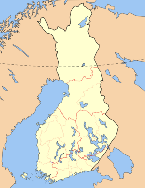
map_locator_x = 43.7
map_locator_y = 24.6
map_size =
map_caption =
map_first =
website =Pulju Wilderness Area ("Puljun erämaa-alue") is a wilderness reserve in the municipalities of
Enontekiö andKittilä inLapland Province ,Finland . It is governed byMetsähallitus and covers 614 km² (237 mi²). It was established in1991 like all the other wilderness areas in Lapland Province.The Pulju area is especially known for its peculiar landscape forms from (probably) the latest ice age: worm-like winding Pulju moraines. They are situated about 7 km north from the Pulju village.
ee also
*
Wilderness areas of Finland References
*cite web| url= http://www.luontoon.fi/page.asp?Section=5615 | title=Pulju Wilderness Area | work=Outdoors.fi |publisher=Metsähallitus|accessdate=2006-07-04
*cite web| url= http://www.birdlist.org/eur/finland/fi_parks.htm |title=FI parks |work=Nature World Wide |publisher=World Institute for Conservation and Environment|accessdate=2006-07-04

Wikimedia Foundation. 2010.