- Balfour, British Columbia
Infobox Settlement
official_name = Balfour, British Columbia
other_name =
native_name =
nickname =
settlement_type = Village
motto =
imagesize =
image_caption =
flag_size =
image_
seal_size =
image_shield =
shield_size =
city_logo =
citylogo_size =
mapsize =
map_caption =
mapsize1 =
map_caption1 =
image_dot_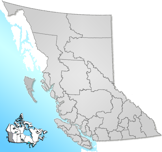
dot_mapsize =
dot_map_caption =Location of Balfour in British Columbia, Canada
dot_x =150 |dot_y =142
subdivision_type = Country
subdivision_name = Canada
subdivision_type1 = Province
subdivision_name1 =British Columbia
subdivision_type2 = Regional District
subdivision_name2 = Central Kootenay
subdivision_type3 =
subdivision_name3 =
subdivision_type4 =
subdivision_name4 =
government_footnotes =
government_type =
leader_title =
leader_name =
leader_title1 = Governing body
leader_name1 =Nelson City Council
leader_title2 =MP
leader_name2 =Alex Atamanenko (NDP)
leader_title3 =MLA
leader_name3 =Corky Evans (NDP)
leader_title4 =
leader_name4 =
established_title = Unincorporated
established_date =
established_title2 =
established_date2 =
established_title3 =
established_date3 =
area_magnitude =
unit_pref =
area_footnotes =
area_total_km2 =
area_land_km2 =
area_water_km2 =
area_total_sq_mi =
area_land_sq_mi =
area_water_sq_mi =
area_water_percent =
area_urban_km2 =
area_urban_sq_mi =
area_metro_km2 =
area_metro_sq_mi =
population_as_of = 2006
population_footnotes =
population_note =
population_total = 479
population_density_km2 =
population_density_sq_mi =
population_metro =
population_density_metro_km2 =
population_density_metro_sq_mi =
population_urban =
population_density_urban_km2 =
population_density_urban_sq_mi =
population_blank1_title =
population_blank1 =
population_density_blank1_km2 =
timezone = PST
utc_offset = -8
timezone_DST =
utc_offset_DST =
latd= |latm= |lats= |latNS=
longd= |longm= |longs= |longEW=
elevation_footnotes =
elevation_m =
elevation_ft =
postal_code_type =
postal_code =
area_code =
blank_name =
blank_info =
blank1_name =
blank1_info =
website =
footnotes =Balfour, also known as Balfour Bay, is an unincorporated community in British Columbia, located about km to mi|30|spell=UK northeast of the city of Nelson and located at the juncture of Kootenay Lake with its West Arm.
 CPR hotel at Balfour (1918)
MV Osprey ", the larger of the two ferries with an 80 car capacity operating year round, and the "MV Balfour ", a 35 car ferry operating only in the summer.Balfour was once the location of one of the Canadian Pacific's grand railway hotels, the [http://www.bcarchives.gov.bc.ca/cgi-bin/www2i/.visual/img_med/dir_80/f_04078.gifBalfour Hotel] (linked image is c.1918).
References
External links
* [http://www.bcarchives.gov.bc.ca/cgi-bin/www2i/.visual/img_med/dir_80/e_09170.gifBC Archives Photo: Balfour Hotel,]
* [http://www.bcarchives.gov.bc.ca/cgi-bin/www2i/.visual/img_med/dir_77/d_05770.gifBC Archives Photo: Balfour Hotel, c.1915]
* [http://www.bcarchives.gov.bc.ca/cgi-bin/www2i/.visual/img_med/dir_80/f_04078.gifBC Archives Photo: Balfour Hotel, c.1918]
* [http://www.bcarchives.gov.bc.ca/cgi-bin/www2i/.visual/img_med/dir_100/a_00668.gifBC Archives Photo: CPR Steamer "SS Moyie", near Balfour, c.1900 (hotel at rear left)]
Wikimedia Foundation. 2010.