- Umri Kalan
Infobox Indian Jurisdiction
name = Umri Kalan
type = city
latd = 29.04 | longd = 78.57
locator_position = right | district = Moradabad
state_name = Uttar Pradeshleader_title =
leader_name =
altitude =
population_as_of = 2001
population_total = 15,290 | population_density =
area_magnitude= sq. km
area_total =
area_telephone = 05922
postal_code = 244227
vehicle_code_range =
sex_ratio =
unlocode =
website = www.umrikalan.com
footnotes =Umri Kalan is a town and a
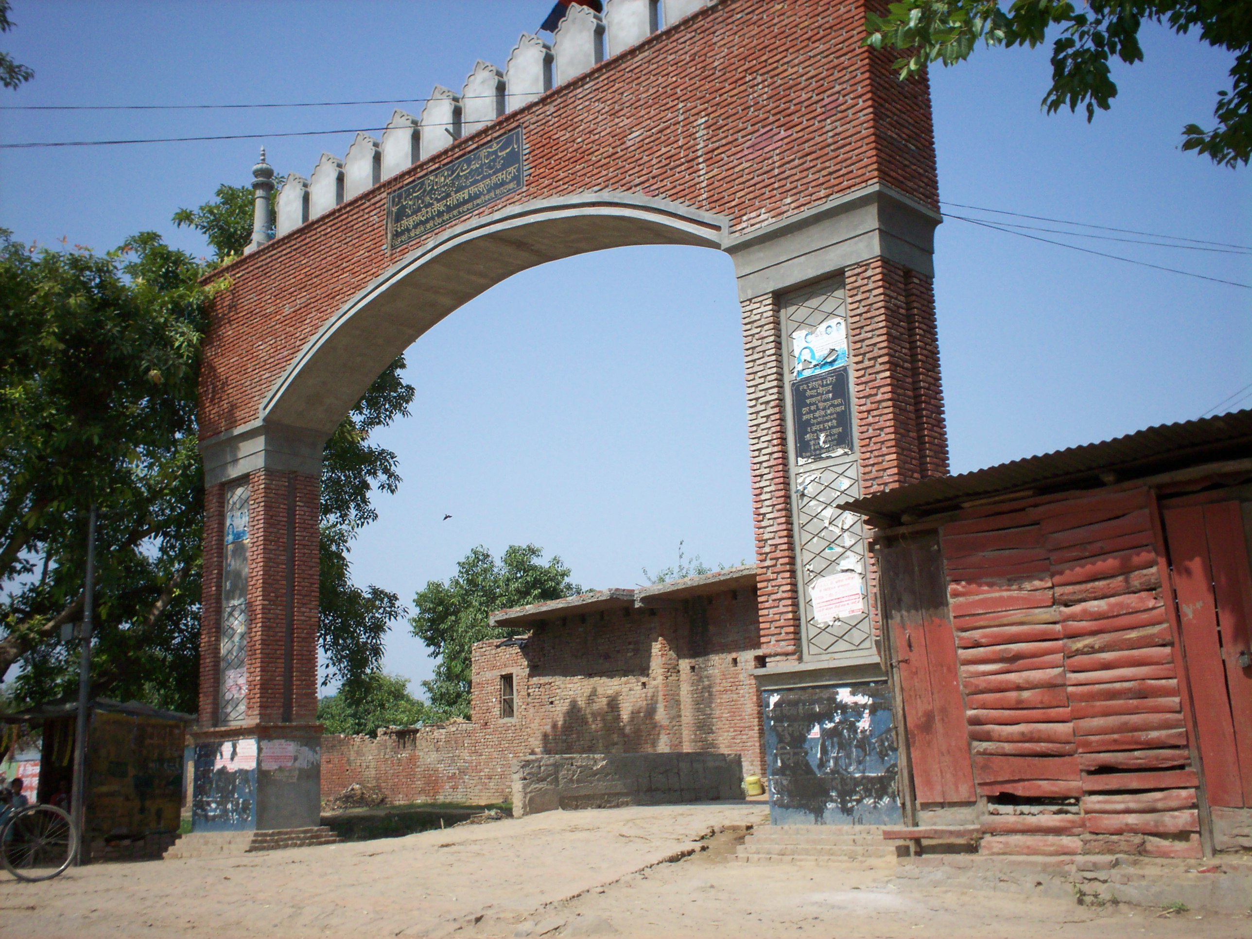
nagar panchayat inMoradabad district in theIndia n state ofUttar Pradesh .The entry point of the town is a gate [http://en.wikipedia.org/wiki/

] , built in the memory of Shaikh-ul-Hadith Hazrat Fakhar-ul-Hasan, a prominent muslim scholar of the town.Geography
Umri Kalan is located at 78°34'1"E and 29°2'16"N
* [http://www.wikimapia.org/#y=29036961&x=78567181&z=13&l=0&m=a&v=2&show=/2143115/ Locality, Wikimapia.org] ]Demographics
As of 2001 India Most residents of this town are Muslims. Most of the families are descendants of Zamindars.Glimpses of the town
* [http://en.wikipedia.org/wiki/
]
* [http://en.wikipedia.org/wiki/]
* [http://en.wikipedia.org/wiki/]
* [http://en.wikipedia.org/wiki/]
* [http://en.wikipedia.org/wiki/]
References
Wikimedia Foundation. 2010.
