- Alley Pond Park
Infobox park
park = Alley Pond Park
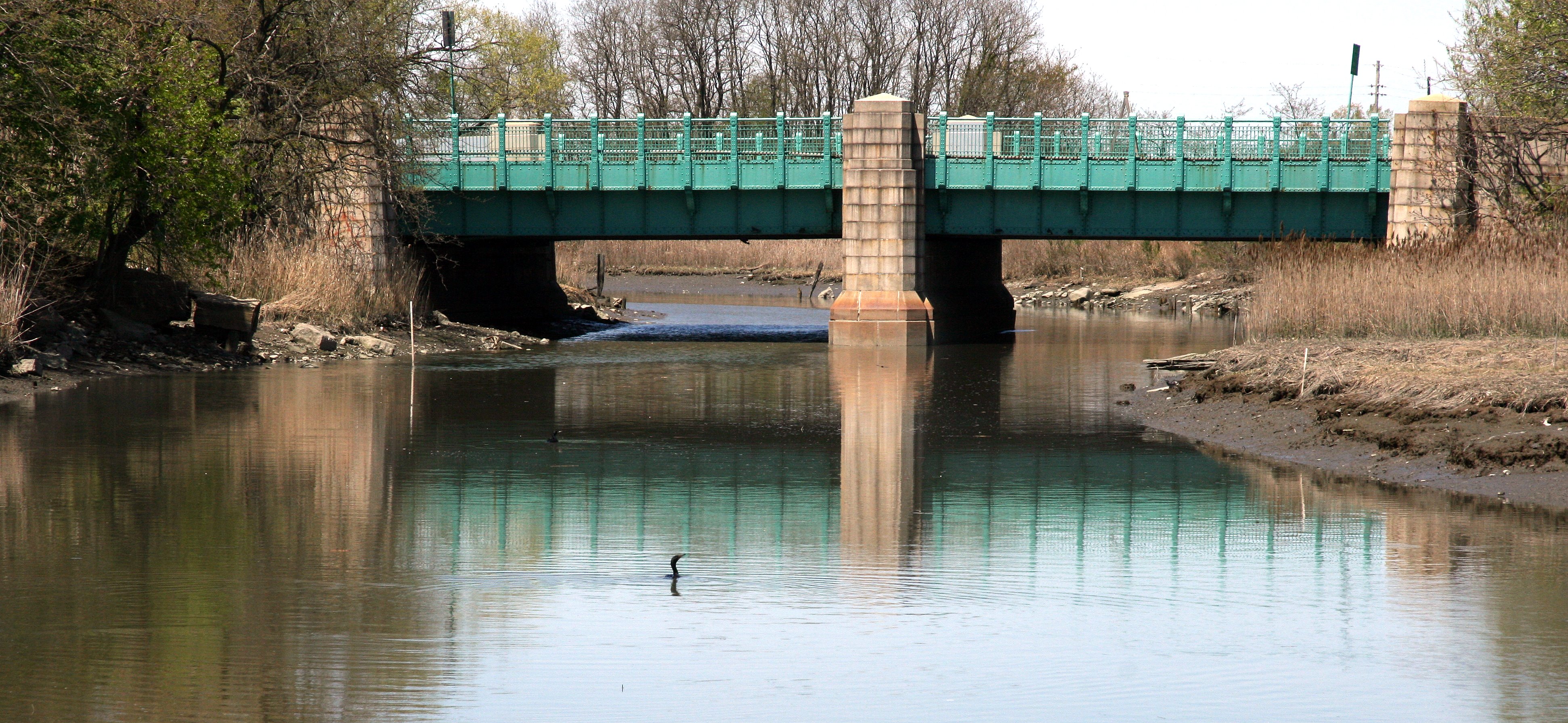
image size = 300px
caption = Alley Pond Environmental Center
type = public park
location = BorderingDouglaston and Bayside inNew York
coordinates = coord|40|45|30|N|73|44|50|W|type:landmark_region:US|display=inline,title
size = convert|655.294|acre|ha
opened =
operator =New York City Department of Parks and Recreation
visitors =
status =Alley Pond Park is the second-largest public park in
Queens ,New York . It occupies convert|655.294|acre|m2, most of it acquired and cleared by the city in 1929, as authorized by a resolution of theNew York City Board of Estimate in 1927. The park is bordered to the east byDouglaston , to the west by Bayside, to the north byLittle Neck Bay , and to the south by Union Turnpike. It is run and operated by theNew York City Department of Parks and Recreation .Cross Island Parkway transects the park from north to south; While theLong Island Expressway andGrand Central Parkway transect the from park east to west.South of the Long Island Expressway there are woodlands, and north of it there are meadowlands.
The Alley Pond Environmental center with a library, a museum, animal exhibits is located in the northern part of the park, on the south side of
Northern Boulevard .Geology and Ecology
The park occupies part of a moraine, a ridge of sand and rock, that was formed by a glacier 15,000 years ago, at the southern terminus of the Minnesota Ice Sheet. Boulders dropped by the glaciers on the hillsides of the southern end of the park still remain, as do scattered “Kettle Ponds” formed by melting ice. The valley features both fresh water, draining into the valley from the hills and bubbling up from natural springs, and salt water from Little Neck Bay; this promotes ecodiversity, with freshwater and saltwater wetlands, tidal flats, meadows, and forests accommodating abundant bird life. [http://www.nycgovparks.org/sub_your_park/historical_signs/hs_historical_sign.php?id=12062]
History
What is now Alley Pond Park was once home to the Matinecock, who harvested shellfish from Little Neck Bay. The English began to colonize the area by the 1630s, when Charles I granted Thomas Foster convert|600|acre|km2|1, on which he built a stone cottage near what is now Northern Boulevard. Mills were built on Alley Creek by Englishmen
Thomas Hicks and James Hedges, while other colonists used the valley as a route toBrooklyn , theHempstead Plains and theManhattan ferries.George Washington (1732-1799) is thought to have used this route for his 1790 tour ofLong Island . The valley's usage as a passage, or perhaps its shape, may ultimately account for its name; in any case, an 18th century commercial and manufacturing center there became known as "the Alley".Despite this center and light industrial uses that dated back to Hicks' and Hedges' mills, the area remained agricultural and largely unspoiled into the 20th century. In 1908, as motorists sought attractive areas for expeditions,
William Vanderbilt (1849–1920) built his privately runLong Island Motor Parkway through the area in 1908.By the 1920s,
automobile s were proliferating faster--and so were people, as the population of Queens doubled during that decade. With open space becoming less plentiful, the City of New York began setting aside land for parks, and it acquired the Alley site for this purpose on June 24, 1929. Later that year, the Parks department expanded the park into 330 newly acquired acres surrounding the alley and removed some older structures. After this acquisition had been approved, MayorJames J. Walker (1881–1946) declared that "there is no better site in Queens".In 1935, the park officially opened with ceremony attended by Mayor
Fiorello H. La Guardia (1882–1947) and Parks CommissionerRobert Moses (1888–1981) Already, the park boasted 26 acres of new playing fields; the Alley Pond Park Nature Trail, which was the city's first of its kind; a 23 acre bird sanctuary; bridle paths; tennis court; picnic areas; and a 200-space parking lot.The Parks Department added a 2.5 mile (4 km) bicycle path in 1937, having acquired and converted Vanderbilt's parkway. It runs west into
Cunningham Park as part of the 40 mile (65 km)Brooklyn-Queens Greenway from Bayside to Prospect Park andConey Island .Throughout the 1930s, the Parks Department, as it now recognizes on its website, acted with more "zeal" for recreation than for the other purpose of parks: conservation. [http://www.nycgovparks.org/sub_your_park/historical_signs/hs_historical_sign.php?id=12062] The Department filled in much of the Valley's marsh lands to construct recreational facilities and roads (namely, the Long Island Expressway and Cross Island Parkway). By 1974, the Department and City had begun to make the environment a higher priority, creating the Wetlands Reclamation Project to rehabilitate the park's natural wetlands. In 1976, The Alley Pond Environmental Center opened with a mission of educational and ecological education. For conservation purposes, the City acquired over $10.9 million worth of new land for the Park, and in 1993, almost $1 million was spent to restore the Picnic Grove, renovate two stone buildings, and reconstruct the playground and soccer field. [http://www.nycgovparks.org/sub_your_park/historical_signs/hs_historical_sign.php?id=12062 Alley Pond Park] ,
New York City Department of Parks and Recreation . AccessedSeptember 8 ,2007 .]References
External links
* [http://www.nycgovparks.org/sub_your_park/historical_signs/hs_historical_sign.php?id=12062 Alley Pond Park] ,
New York City Department of Parks and Recreation
* [http://www.alleypond.com Alley Pond Environmental Center]
Wikimedia Foundation. 2010.