- Kissena Park
Infobox park
park = Kissena Park
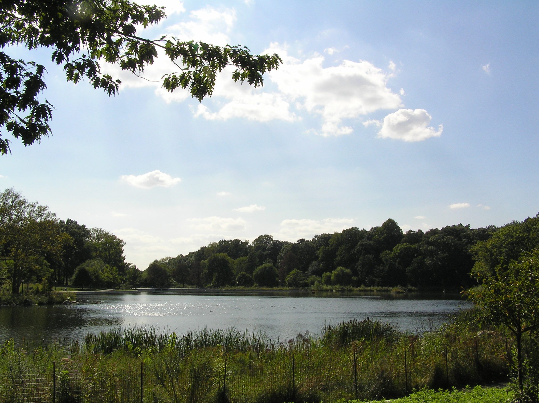
image size =
caption = A view from the eastern end of the park overlooking the largest aspect of the park, the pond.
type = public park
location =Flushing, New York
coordinates = coord|40|44|42|N|73|48|17|W|type:landmark_region:US|display=inline,title
size = convert|234.762|acre|ha
opened =
operator =New York City Department of Parks and Recreation
visitors =
status =Kissena Park is a large park located in the neighborhood of Flushing in the
New York City borough ofQueens , along Kissena Creek which formerly flowed into theFlushing River . It is bordered on the west byKissena Boulevard ; on the north by Rose, Oak, Underhill, and Lithonia Avenues; on the east by Fresh Meadow Lane; and on the south by Booth Memorial Avenue. Within its boundaries it contains a small lake, Kissena Lake, surrounded by playgrounds; avelodrome on the south side for speed bicycling; and a number of soccer fields, tennis courts, and baseball fields.Kissena Park is the centerpiece of the
Kissena Corridor Park , a more or less continuous chain of parks several miles long, and part of theBrooklyn-Queens Greenway . Bicycle paths connect the park westward to Main Street. The formerLong Island Motor Parkway , now a bike path, connects throughCunningham Park toAlley Pond Park . Thanks in part to the Corridor, Kissena Park is a frequented location for bicyclists, joggers, walkers, and runners. It was recently restored, mostly in 2004.The continuous string of parks in the area is due to its use as railroad right-of-way a century ago. A raised nature trail running through Kissena Park was originally the railroad bed of The
A.T. Stewart Line (later renamed the "White Line," and then the Creedmore branch of theLong Island Rail Road ) to Garden City.Naming
Although the Chippewa Native Americans were not from the northeast,
Samuel Parsons used their word for the phrase "it is cold" (Kissena) to name the large lake on his land. When the park was dedicated in 1908 it took the name as well, as did Kissena Boulevard (which was, until that point, named Jamaica Avenue). [cite web
url=http://www.nycgovparks.org/sub_your_park/historical_signs/hs_historical_sign.php?id=7922
title=Kissena Park
publisher=New York City Department of Parks and Recreation
date=2000-11-06
accessdate=2007-07-05]References
External links
* [http://www.nycgovparks.org/sub_your_park/park_info_pages/park_info.php?propID=Q024 Kissena Park] —
New York City Department of Parks & Recreation
* [http://www.nycgovparks.org/sub_your_park/historical_signs/hs_historical_sign.php?id=7922 Kissena Park — Historical Sign]
* [http://www.nycgovparks.org/sub_things_to_do/facilities/images/Brooklyn_Queens_Greenway_Guide.pdf Brooklyn-Queens Greenway]
* [http://rutlandtrail.org/gmap.cgi?LIRR-kissena-central-branch.ny.track Central Branch Railroad Route]
* [http://www.mazeartist.com/kissenacreek.htm Exploring Kissena Creek]
Wikimedia Foundation. 2010.