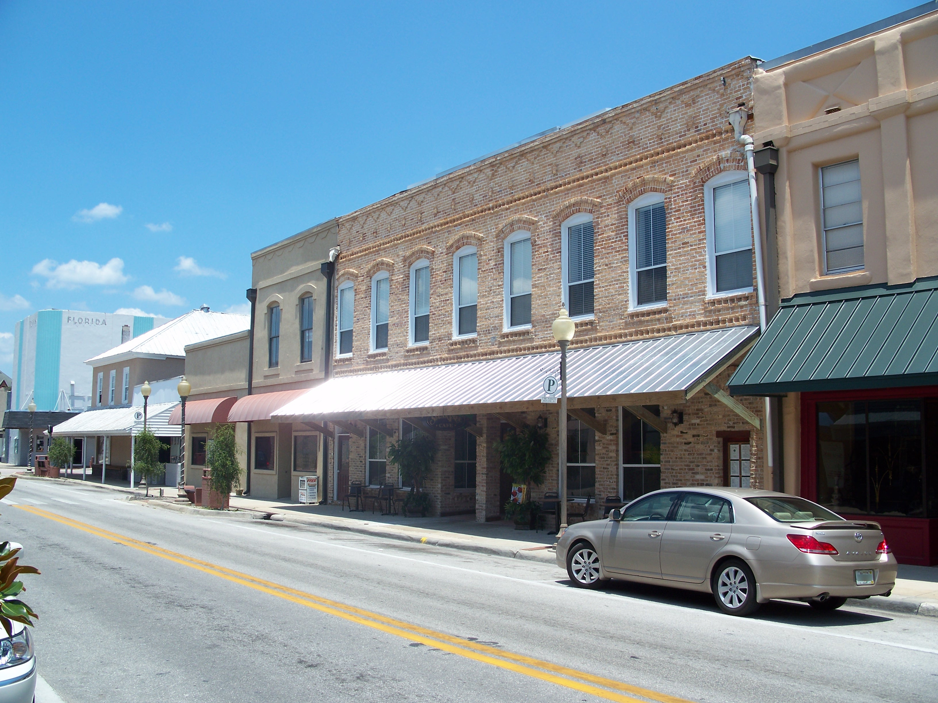
Call Street Historic District
- Call Street Historic District
Infobox nrhp2
name = Call Street Historic District
nhd = yes
caption =
location = Starke, Florida
lat_degrees =
lat_minutes =
lat_seconds =
lat_direction =
long_degrees =
long_minutes =
long_seconds =
long_direction =
area = convert|120|acre|km2
added = December 12, 1985
visitation_num =
visitation_year =
governing_body =
The Call Street Historic District is a U.S. historic district (designated as such on December 12, 1985) located in Starke, Florida. It encompasses approximately convert|120|acre|km2, and the boundaries are Jefferson, Cherry, Madison, and Temple Streets. It contains 23 historic buildings and 1 structure.
External links
* [http://dhr.dos.state.fl.us/facts/reports/places/Counties/Bradford.cfm Florida's Office of Cultural and Historical Programs - Bradford County]
* [http://www.flheritage.com/preservation/markers/markers.cfm?ID=bradford Historic Markers in Bradford County]
Wikimedia Foundation.
2010.
Look at other dictionaries:
Central Troy Historic District — U.S. National Register of Historic Places U.S. Historic district … Wikipedia
Spring Street Financial District — Infobox nrhp | name =Spring Street Financial District nrhp type = hd caption = Spring Street looking north from Hotel Hayward location= 354–704 S. Spring St., Los Angeles, California lat degrees = 34 lat minutes = 2 lat seconds = 48 lat direction … Wikipedia
Old Jeffersonville Historic District — U.S. National Register of Historic Places U.S. Historic district … Wikipedia
New Bedford Historic District — This article is about the city s waterfront historic district. For the downtown historic district, see Central New Bedford Historic District. New Bedford Historic District … Wikipedia
Wintersmith Park Historic District — Infobox nrhp | name =Wintersmith Park Historic District nrhp type = caption = Wintersmith Lake location= Ada, Oklahoma lat degrees = | lat minutes = | lat seconds = | lat direction = long degrees = | long minutes = | long seconds = | long… … Wikipedia
St. Elmo Historic District — Infobox nrhp name = St. Elmo Historic District nrhp type=hd caption = The logo of St. Elmo. location = Chattanooga, Tennessee USA lat degrees = lat minutes = lat seconds = lat direction = long degrees = long minutes = long seconds = long… … Wikipedia
Sunset Park Historic District — Sunset Park is a neighborhood south of the Historic Downtown of Wilmington, in New Hanover County, North Carolina, United States . It has been designated a Historic District on the National Register of Historic Places. Sunset Park, a name… … Wikipedia
Park Avenue Historic District (Tallahassee, Florida) — Infobox nrhp2 name = Park Avenue Historic District nhd = yes caption = location = Tallahassee, Florida lat degrees = 30 lat minutes = 26 lat seconds = 34.116 lat direction = N long degrees = 84 long minutes = 16 long seconds = 57.9108 long… … Wikipedia
National Register of Historic Places listings in Bradford County, Florida — Location of Bradford County in Florida This is a list of the National Register of Historic Places listings in Bradford County, Florida. This is intended to be a complete list of the properties and districts on the National Register of Historic… … Wikipedia
National Register of Historic Places listings in Barnstable County, Massachusetts — Location of Barnstable County in Massachusetts This is a list of the National Register of Historic Places listings in Barnstable County, Massachusetts. This is intended to be a complete list of the properties and districts on the National… … Wikipedia