- Chestervale, Illinois
-
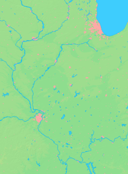
Chestervale Village Country United States State Illinois County Logan Coordinates 40°05′32″N 89°19′18″W / 40.09222°N 89.32167°W Timezone CST (UTC−6) - summer (DST) CDT (UTC−5) Postal code 62656 Area code 217 Wikimedia Commons: Chestervale, Illinois Chestervale is a village in Central Illinois. It is approximately 3.2 miles southeast of Lincoln along Illinois Route 121. The town consists of a grain elevator, a county highway shed and a few homes. It is on the Canadian National Railway.
External links
Municipalities and communities of Logan County, Illinois Cities Villages Broadwell | Elkhart | Emden | Hartsburg | Latham | Middletown | New Holland | San Jose‡
Townships Aetna | Atlanta | Broadwell | Chester | Corwin | East Lincoln | Elkhart | Eminence | Hurlbut | Laenna | Lake Fork | Mount Pulaski | Oran | Orvil | Prairie Creek | Sheridan | West Lincoln
Unincorporated
communitiesBakerville | Beason | Bell | Burtonview | Chestervale | Chestnut | Cornland | Croft‡ | Evans | Fogarty | Harness | Lake Fork | Lawndale | Lucas | Mount Fulcher | Mountjoy | Narita | Skelton | Union
Footnotes ‡This populated place also has portions in an adjacent county or counties
Coordinates: 40°05′32″N 89°19′18″W / 40.09222°N 89.32167°W
Categories:- Populated places in Logan County, Illinois
- Villages in Illinois
- Central Illinois geography stubs
Wikimedia Foundation. 2010.


