- Tahoua
Infobox Settlement
official_name = PAGENAME
other_name =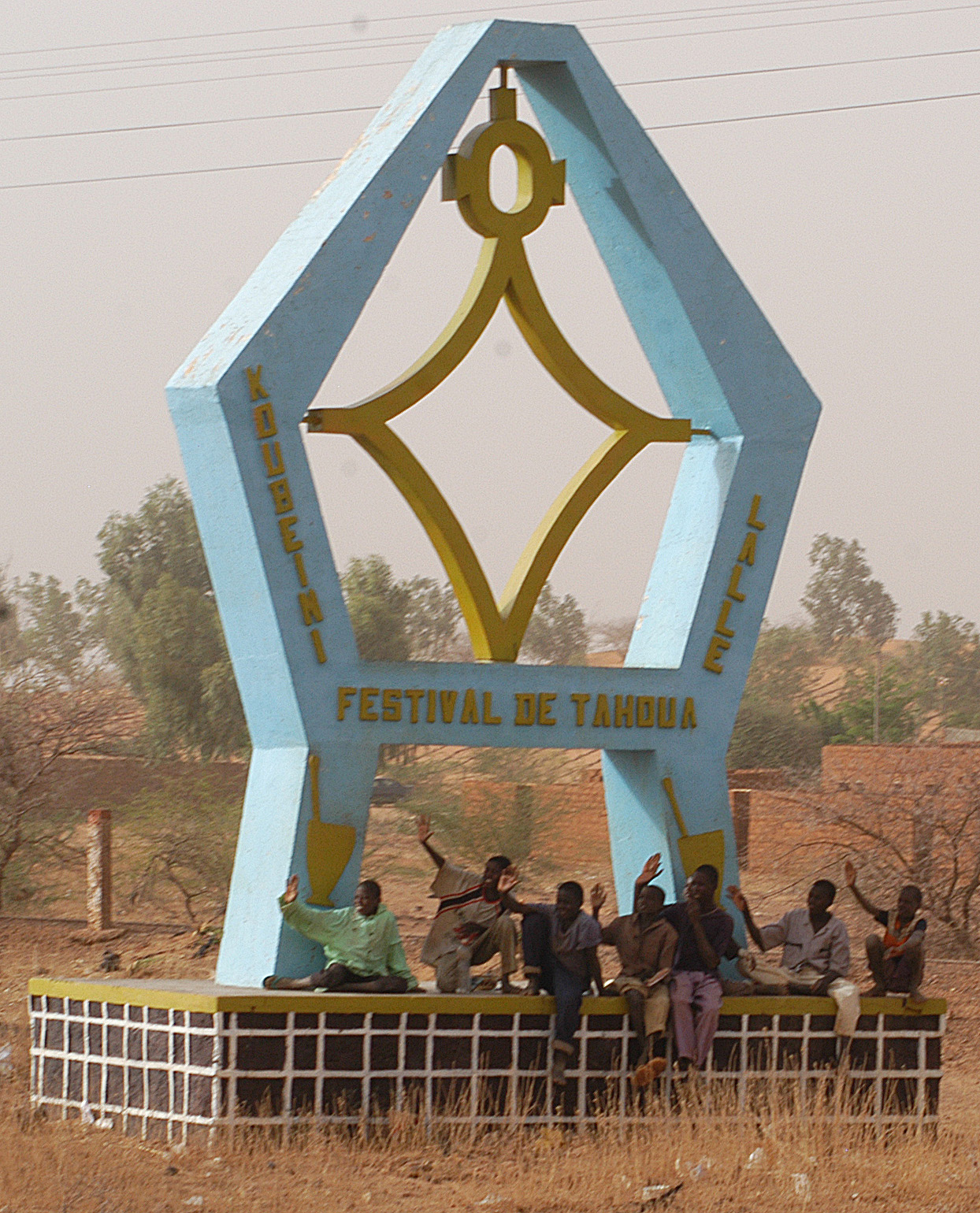
imagesize = 260px
image_caption = Children sit under the monument to the "Festival of Tahoua"
image_
map_caption =
pushpin_
pushpin_label_position =bottom
pushpin_mapsize = 300
pushpin_map_caption =Location in Niger
subdivision_type = Country
subdivision_name =
subdivision_type1 = Region
subdivision_name1 =Tahoua Region
subdivision_type2 = Department
subdivision_name2 =Tahoua Department
established_title =
established_date =
government_type =
leader_title =
leader_name =
area_magnitude =
area_total_sq_mi =
area_total_km2 =
area_land_sq_mi =
area_land_km2 =
area_urban_sq_mi =
area_urban_km2 =
area_metro_km2 =
area_metro_sq_mi =
population_as_of=2004
population_footnotes =
population_total = 99,000
population_urban =
population_metro =
population_density_sq_mi =
population_density_km2 =
timezone =
utc_offset =
timezone_DST =
utc_offset_DST =
latd=14|latm=53|lats=|latNS=N
longd=5|longm=16|longs=|longEW=E
elevation_footnotes=
elevation_m =
elevation_ft =
postal_code_type =
postal_code =
area_code =
website =
footnotes =Tahoua is a city in
Niger and the administrative center of the Department of Tahoua. It has a population of 99,900 (2004). The city is primarily amarket town for the surrounding agricultural area, and a meeting place for theTuareg people from the north and the Fulani people from the south.Phosphate s andgypsum are mined there as well.References
* [http://www.yannarthusbertrand.com/yann2/affichage.php?reference=TVDC%20095&pais=Niger yannarthusbertrand.com]
*

Wikimedia Foundation. 2010.