- Kolyma River
Infobox River
river_name = Kolyma River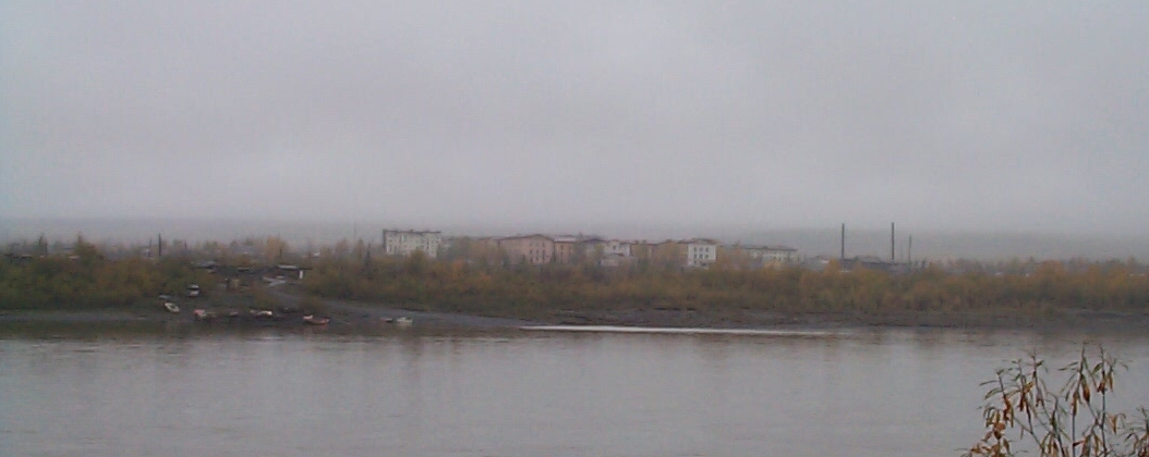
caption =Debin through the morning mist over the Kolyma River, 8 September 2004
origin =
mouth =East Siberian Sea
basin_countries =Russia
length = 2,129 km
elevation =
discharge = 3,800 m³/s (near mouth)
watershed = 644,000 km²The Kolyma River ( _ru. Колыма́) is a river in northeasternSiberia , whose basin covers parts of theSakha Republic ,Chukotka Autonomous Okrug , andMagadan Oblast ofRussia . It rises in the mountains north ofOkhotsk andMagadan , in the area of coord|62|N|149|E| andempties into theKolyma Gulf (Kolymskiy Zaliv) of theEast Siberian Sea , a division of theArctic Ocean , at coord|69|30|N|161|30|E|. The length of the Kolyma is 2,129km . The area of its basin is 644,000km² .The Kolyma is frozen to depths of several metres for about 250 days each year, becoming free of ice only in early June, until October.
History
In 1892-1894
Baron Eduard Von Toll carried out geological surveys in the basin of the Kolyma (among other Far-eastern Siberian rivers) on behalf of the Russian Academy of Sciences (Barr, 1980). During one year and two days the expedition covered 25,000 km, of which 4,200 km were up rivers, carrying out geodesic surveys en route.The Kolyma is known for its
Gulag labour camp s andgold mining , both of which have been extensively documented sinceStalin era Soviet archives opened. The river gives its title to a famous anthology about life in Gulag camps byVarlam Shalamov , "The Kolyma Tales ".After the camps were closed, state subsidies, local industries and communication have dwindled to almost nothing. Many people have migrated, but those who remain in the area make a living by fishing and hunting.
Mouths of the Kolyma
In the last 75 km stretch the Kolyma divides into two large branches. There are many islands at the mouth of the Kolyma before it meets the East Siberian sea. The main ones are:
*Mikhalkino coord|69.416|N|151.255|E is the largest island, it lies to the west of the Kolyma's eastern branch, the Prot. Kammennaya Kolyma. This island breaks up into smaller islands on its northern end. It is 24 km long and 6 km wide. Mikhalkino is also known as "Glavsevmorput Island" after the
Chief Directorate of the Northern Sea Route .
*Sukharnyy, or Sukhornyy , is located 3 km from the northeastern shores of Mikhalkino. It is 11 km long and about 5 km wide. Northeast of Sukhornyy lies a cluster of small islands known as the Morskiye Sotki Islands.
*Piat' Pal'tsev lies 5 km to the southeast of Sukhornyy's southern end. It is 5 km long and has a maximum width of 1.8 km.
*Nazarovsky Island coord|69.533|N|161.086|E lies on the western side of the Kolyma's western branch, the Prot. Pokhodskaya Kolyma, in an area where there are many small islands. It is 4.5 km long and 1.3 km wide.
*Shtormovoy Island coord|69.666|N|161.031|E lies offshore, about 10 km to the north of Nazarovsky Island. Shtormovoy is the northernmost island off the Mouths of the Kolyma. It is 4.3 km long and 1.5 km wide.ee also
The
Kolyma article which provides additional information about the Gulag.References
* William Barr, "Baron Eduard von Toll’s Last Expedition: The Russian Polar Expedition, 1900-1903" (1980). [http://pubs.aina.ucalgary.ca/arctic/Arctic34-3-201.pdf]
* Shalamov, Varlam Tikhonovich (1994) "Kolyma tales" [Kolymskie rasskazy] , Glad, John (transl.), Penguin twentieth-century classics, Harmondsworth : Penguin, ISBN 0-14-018695-6
* Once-cursed Gulag river now Siberian lifeline: [http://dl1.yukoncollege.yk.ca/agraham/newsItems/departments/russia]
* [http://www.siberia.nu Strandberg, Mikael and Johan Ivarsson, travelled down the full length of the Kolyma River 2004. An Expedition hailed internationally as one of the coldest ever.]
* [http://worldmaps.web.infoseek.co.jp/russia_guide.htm Position and names of islands]External links
* [http://earthtrends.wri.org/maps_spatial/maps_detail_static.cfm?map_select=358&theme=2 Information and a map of the Kolyma's watershed]
* [http://www.panoramio.com/photo/6975262 Picture of Mikhalkino Island]
Wikimedia Foundation. 2010.