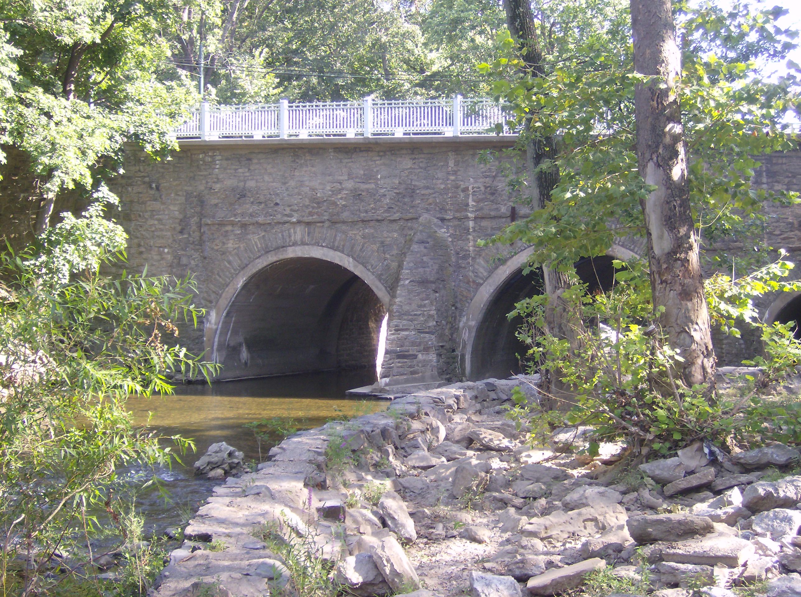
- Frankford Avenue Bridge
Infobox_nrhp | name =Frankford Avenue Bridge
nrhp_type =

caption =
location=Philadelphia, Pennsylvania
lat_degrees = 40
lat_minutes = 3
lat_seconds = 52.65
lat_direction = N
long_degrees = 74
long_minutes = 58
long_seconds = 52.46
long_direction = W
locmapin = Pennsylvania
area =
built =1697
architect= unknown
architecture=
added =June 22 ,1988
governing_body = State
mpsub=Highway Bridges Owned by the Commonwealth of Pennsylvania, Department of Transportation TR
refnum=88000803cite web|url=http://www.nr.nps.gov/|title=National Register Information System|date=2007-01-23|work=National Register of Historic Places|publisher=National Park Service] The Frankford Avenue Bridge, also known as the Pennypack Creek Bridge, the Holmesburg Bridge, and the King's Highway Bridge, erected in 1697 or 1698 in the Holmesburg section ofNortheast Philadelphia ,Pennsylvania , is the oldest surviving roadway bridge in the United States. The three-span, 73-ft-long stone arch bridge carries Frankford Avenue (U.S. Route 13 ) overPennypack Creek .The bridge, built at the request of
William Penn , was an important link on the King's Highway that linked Philadelphia with cities to the north (Trenton ,New York , andBoston ). Over it, anyone who traveled by horseback or coach from the northern colonies to the First or SecondContinental Congress es, such asJohn Adams , coming from Massachusetts. It was paved, and a toll booth was added at its south end in 1803. The bridge was widened in 1893 to accommodate streetcars. It remains in use today.The bridge was designated a
National Historic Civil Engineering Landmark by the American Society of Civil Engineers in 1970. It was listed in the National Register of Historic Places in 1988.Note: not to be confused with the Frankford Avenue Bridge over Poquessing Creek, built 1904, also on the National Register.
References
External links
* [http://balford.com/fopp/bridge.html Friends of Pennypack Park article]
* [http://live.asce.org/hh/index.mxml?lid=75&versionChecked=true American Society of Civil Engineers article]
* [http://hdl.loc.gov/loc.pnp/hhh.pa1049 Listing and photographs] atHistoric American Buildings Survey /Historic American Engineering Record /Historic American Landscapes Survey
* [http://hdl.loc.gov/loc.pnp/hhh.pa3584 Another listing and more photographs] at Historic American Buildings Survey/Historic American Engineering Record/Historic American Landscapes Survey
* [http://www.philadelphiabuildings.org/pab/app/pj_display.cfm/90056 Listing] at Philadelphia Architects and Buildings
Wikimedia Foundation. 2010.
