- Sturgeon River (Alberta)
Infobox River
river_name = Sturgeon River
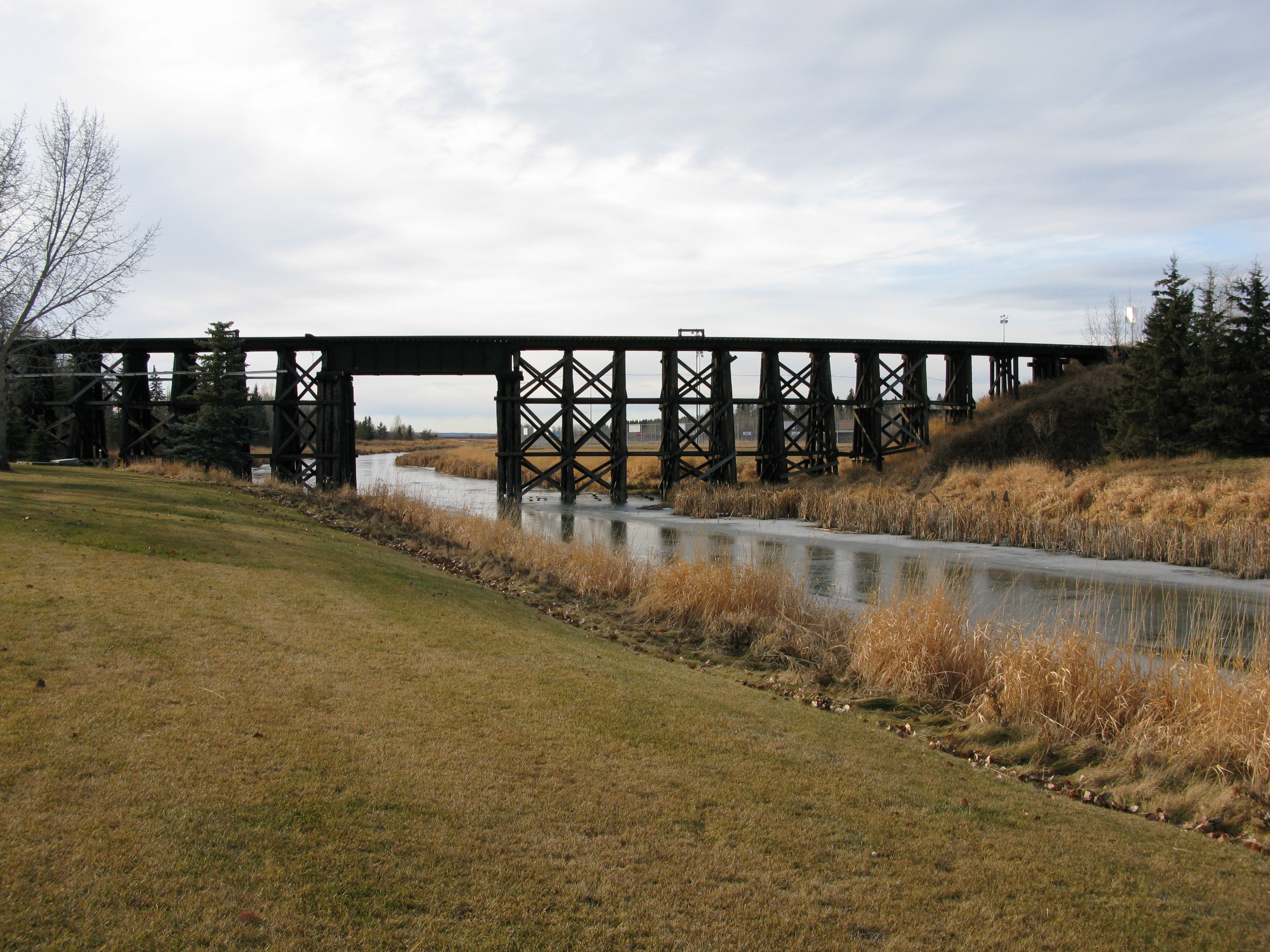
caption = Sturgeon River in St. Albert
origin =Hoople Lake , Alberta
mouth =North Saskatchewan River
coord|53|46|05|N|113|10|17|W|scale:15000_type:river_region:CA-AB|name=Sturgeon River mouth
basin_countries =Canada
length = km to mi|260|abbr=yes
elevation = m to ft|840|abbr=yes
mouth_elevation = m to ft|600|abbr=yes
discharge = 1 m³/s
watershed =Sturgeon River is a 260 km long river located in central
Alberta ,Canada . It is a major tributary of theNorth Saskatchewan River . The stream crosses Sturgeon County, which was named for this river.At the Villeneuve station, Sturgeon River has a discharge of 0.4 to 3 m³/s. [ [http://www3.gov.ab.ca/env/water/ws/data/hydro/figures/_RSTURVIL.gifSturgeon River near Villeneuve] from Alberta Environment [http://www3.gov.ab.ca/env/water/basins/BasinForm.cfm River Basins in Alberta] ]
Fish species which may be found in the river include: walleye, pike, perch, burbot, goldeye, sturgeon, whitefish, and sauger.
Course
The Sturgeon River originates west of Isle Lake and east of Entwistle. It turns northeast in St. Albert, then southeast near
Gibbons, Alberta and enters the North Saskatchewan River near Fort Saskatchewan.Tributaries
*Riviere Qui Barre
*Atim Creek
*Little Egg CreekNumerous lakes are found in the upper watershed, including Isle Lake,
Lac Ste. Anne , Birch Lake, Sandy Lake, Deadman Lake, Matchayaw Lake, Gladu Lake, Atim Lake and Big Lake.ee also
*
List of Alberta rivers References
* [http://www.sturgeon.fanweb.ca/ The Sturgeon River Watershed]
Wikimedia Foundation. 2010.