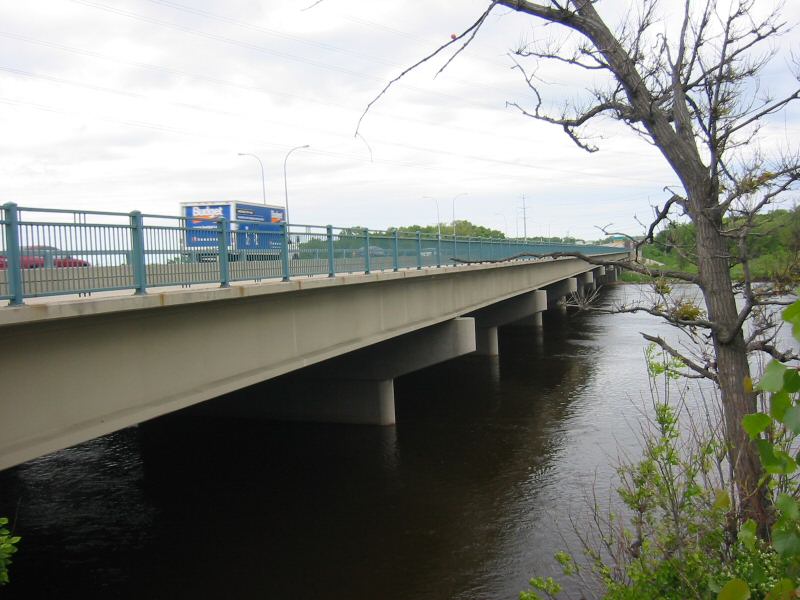
- Richard P. Braun Bridge
Infobox_Bridge
bridge_name=Richard P. Braun Bridge
caption=
official_name=
crosses=Mississippi River
carries=Several lanes ofMinnesota State Highway 610
locale=Brooklyn Park, Minnesota -Coon Rapids, Minnesota
design=Concretegirder bridge
mainspan=122 feet
length=1326 feet (404 meters)
width=96 feet (29.4 m) westbound, 69 feet (21 m) eastbound
below=21 feet
open=1985 (westbound span), 1999 (eastbound span)
maint=Minnesota Department of Transportation
id=27239 (westbound), 27252 (eastbound)
coordinates=
lat=45.129151
long=-93.298918
clearance=
traffic=39000
closed=
toll=
map_cue=
map_
map_text=
map_width=Richard P. Braun Bridge is a pair of 10-span concrete
girder bridge s spanning theMississippi River betweenBrooklyn Park, Minnesota andCoon Rapids, Minnesota . The eastbound span was built in 1985 to connectMinnesota State Highway 252 withMinnesota State Highway 610 in Coon Rapids. The westbound span was built in 1999 as part of the continued construction of Highway 610 through Brooklyn Park.There is a walkway on the south side of the bridge that connects a trail along West River Road in Brooklyn Park with a trail along the east side of the river in Coon Rapids. The trail on the east side leads to the Coon Rapids Dam, about a mile and a half north.
ee also
*
List of crossings of the Upper Mississippi River References
* cite book
last = Costello
first = Mary Charlotte
authorlink =
coauthors =
year = 2002
title = Climbing the Mississippi River Bridge by Bridge, Volume Two: Minnesota
publisher = Adventure Publications
location = Cambridge, MN
id = ISBN 0-9644518-2-4
*cite web
year = 2006
url = http://nationalbridges.com
title = National Bridge Inventory
accessdate = 2006-05-23
accessyear =Crossings navbox
structure = Bridges
place =Mississippi River
bridge = Richard P. Braun Bridge
bridge signs =
upstream = Coon Rapids Dam pedestrian and bicycle bridge
upstream signs =
downstream =I-694 Bridge
downstream signs =
Wikimedia Foundation. 2010.
