- Makaro/Ward Island
Infobox Islands
name = Makaro/Ward
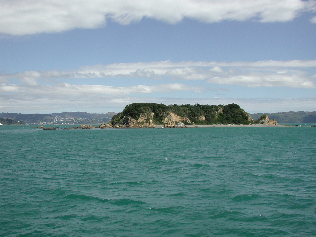
image caption = Makaro/Ward Island from Wellington Harbour Ferry
image size = 250px
locator
Location map|New Zealand North Island|lat=-41.293849|long=174.871514
map_custom = yes
native name =
native name link =
nickname =
location =Wellington Harbour
coordinates = coord|41.293849|S|174.871514|E|display=inline
archipelago =
total islands =
major islands =
area =
length = convert|250|m|ft|abbr=on
width = convert|80|m|ft|abbr=on
highest mount = unnamed
elevation = convert|20|m|ft|abbr=on
country = New Zealand
country admin divisions title =
country admin divisions =
country admin divisions title 1 =
country admin divisions 1 =
country admin divisions title 2 =
country admin divisions 2 =
country largest city =
country largest city population =
population =
population as of =
density =
ethnic groups =
additional info =Makaro/Ward island is one of the three small islands in
Wellington Harbour , at the Southern end of theNorth Island ,New Zealand .Makaro is on the eastern side of the harbour, about 1.7 kilometres west of the town of Eastbourne. It is about 250 metres long and 80 metres wide, with the long axis aligned North/South. The significantly larger
Matiu/Somes Island lies about 5km northwest.Both of these islands received their original
Māori names fromKupe , the semi-legendary first navigator to reach New Zealand and get home again with reports of the new land. He named them after his two daughters (or, in some versions of the tale, nieces) when he first entered the harbour about 1000 years ago.The bulk of Makaro consists of a steep sided block of yellowy/brown
argilite , with a more or less flat top. There is a beach ofgreywacke shingle along the east side of the island. The rest of the coastline is rocky except for a pair of smaller beaches on the western side, backed by cliffs about 20m high. Numerous small reefs surround the island, particularly at the southern end. The main shipping channel to the ports ofWellington andSeaview passes to the west of Makaro. The passage between Makaro and Eastbourne is too shallow for vessels of any size.The island has been used as a defence work in both ancient and modern times. A Ngati Ira Pa of refuge (which as such was not usually inhabited) existed on the island in the early 19th century. There was no construction there - the island itself, with its sheer cliffs, served as the refuge. [David Hamer and Roberta Nicholls,"The making of Wellington, 1800-1914-ll essays",Victoria university press,(1990)] During the
Second World War a 1.8 km wooden piled anti-submarine barrier was built between Robinson Bay and the eastern shore of the island, and a net suspended from buoys extended from the western side of the island to Kau Point on the western harbour shore. [Ann Carew and Allison Carew," Eastbourne, a history of the eastern bays of Wellington harbour", Eastbourne historical society inc.,(2001)"] Peter Cooke,"Defending New Zealand - ramparts on the sea 1840 - 1950s",Defence of New Zealand Study Group",(2000)] Other than a few concrete blocks on the western side of the island there are no remains of these extensive structures to be seen today.The island is a popular destination for recreational watercraft of all kinds. The reefs and the rocky coast provide good fishing and snorkelling opportunities. Off the southern end beds of seaweed provide shelter for abundant fish life, and opportunities for collecting edible shellfish such as
Paua and green lipped mussels.Makaro street in Eastbourne is named after the island that can be seen at the seaward end of its short east-west length.
The island ecosystem
Makaro is a designated DOC scientific reserve and camping, fires and dogs are not permitted there.
As an ongoing measure to ensure that a rodent population does not become established, DOC has been maintaining bait stations filled with pellets containing
Broadifacoum poison on the island since 2005. [http://www.doc.govt.nz/upload/documents/conservation/threats-and-impacts/animal-pests/097-wellington-pesticide-summary-15-feb-2005.pdf DOC Wellington Conservancy 2005 Pesticides report] accessed on the 1st of April 2007]References
Wikimedia Foundation. 2010.