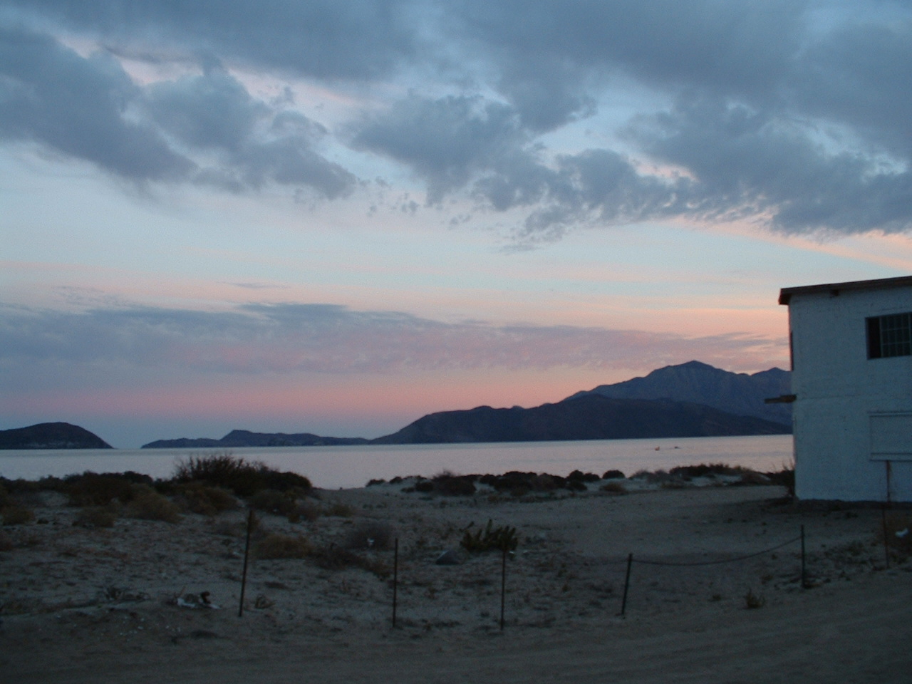
- Bahía de los Ángeles
Infobox Settlement
name = Bahía de los Ángeles
settlement_type =
other_name =
native_name =
nickname =
motto =
imagesize = 300px
image_caption = Bahia de los Angeles
flag_size =
image_
seal_size =
image_shield =
shield_size =
image_blank_emblem =
blank_emblem_type =
blank_emblem_size =
mapsize =
map_caption =
mapsize1 =
map_caption1 =
image_dot_
dot_mapsize =
dot_map_caption =
dot_x = |dot_y =
pushpin_
pushpin_label_position =bottom
pushpin_mapsize =280
pushpin_map_caption =Location in Mexico
subdivision_type = Country
subdivision_name = flag|Mexico
subdivision_type1 = State
subdivision_name1 =Baja California
subdivision_type2 =
subdivision_name2 =
subdivision_type3 =
subdivision_name3 =
subdivision_type4 =
subdivision_name4 =
government_footnotes =
government_type =
leader_title =
leader_name =
leader_title1 =
leader_name1 =
leader_title2 =
leader_name2 =
leader_title3 =
leader_name3 =
leader_title4 =
leader_name4 =
established_title =
established_date =
established_title2 =
established_date2 =
established_title3 =
established_date3 =
area_magnitude =
unit_pref =Imperial
area_footnotes =
area_total_km2 =
area_land_km2 =
area_water_km2 =
area_total_sq_mi =
area_land_sq_mi =
area_water_sq_mi =
area_water_percent =
area_urban_km2 =
area_urban_sq_mi =
area_metro_km2 =
area_metro_sq_mi =
area_blank1_title =
area_blank1_km2 =
area_blank1_sq_mi =
population_as_of =2000
population_footnotes =
population_note =
population_total =
population_density_km2 =
population_density_sq_mi =
population_metro =
population_density_metro_km2 =
population_density_metro_sq_mi =
population_urban =
population_density_urban_km2 =
population_density_urban_sq_mi =
population_blank1_title =Ethnicities
population_blank1 =
population_blank2_title =Religions
population_blank2 =
population_density_blank1_km2 =
population_density_blank1_sq_mi =
timezone =
utc_offset =
timezone_DST =
utc_offset_DST =
latd=28 |latm=55|lats= |latNS=N
longd=113|longm=32|longs=|longEW=W
elevation_footnotes =
elevation_m =
elevation_ft =
postal_code_type =
postal_code =
area_code =
blank_name =
blank_info =
blank1_name =
blank1_info =
website =
footnotes =The _es. Bahía de los Ángeles ("Bay of Angels") is a bay located along the east side of the
Baja California Peninsula , in the state ofBaja California , in northwestMexico . The bay faces theSea of Cortez , and has adesert climate . It has many islands off the coast, and is famous for its fabulous fishing. The most popular fish here isyellowtail , a type of sport fish that lives off the shore ofCalifornia andMexico . These fish can grow up to 5 feet long and can weigh up to 100 pounds. The bay is also famous for itswhale shark s.In 1539
Francisco de Ulloa was the first European to discover the _es. Bahía de los Angeles in what was the last expedition financed byHernán Cortés . In 1752 a loading dock was built to explore Mission San Borja, and the entire Baja California Peninsula. In 1900 it became an important loading dock to export gold and silver obtained from the mines of Sierra San Borja, San Juan, and Santa Martha. When they exploited the mine of San Juan, it came to about 2 million U.S. dollars.ee also
*
Bahía de los Ángeles Airport External links
* [http://www.baja.com/lugares/bajacalifornia/info_bahailosangeles.htm BA at Baja.Com]
* [http://www.baja-web.com/bay-of-la/index.html BA at Baja-Web]
* [http://www.bajaquest.com/bola/ BA at BajaQuest]
* [http://www.cmmayo.com/miraculous-bay-of-angels.html "Bay of Angels" an essay from Southwest Review by C.M. Mayo]
Wikimedia Foundation. 2010.

