- Hlotse
Infobox Settlement
official_name = Hlotse
other_name =
native_name =
nickname =
settlement_type =
motto =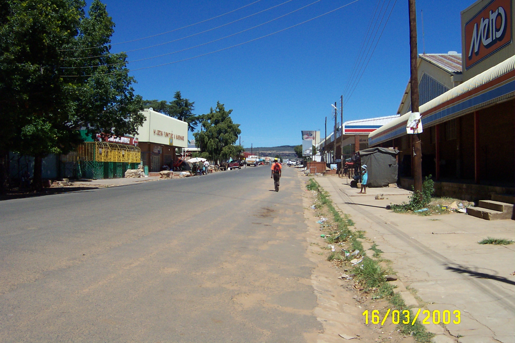
imagesize = 300px
image_caption = Downtown Hlotse
flag_size =
image_
seal_size =
image_shield =
shield_size =
image_blank_emblem =
blank_emblem_type =
blank_emblem_size =
mapsize =
map_caption =
mapsize1 =
map_caption1 =
image_dot_
dot_mapsize =
dot_map_caption =
dot_x =
dot_y =
pushpin_
pushpin_mapsize=300
pushpin_label_position =bottom
pushpin_map_caption = Location in Lesotho
subdivision_type = Country
subdivision_name = flag|Lesotho
subdivision_type1 = District
subdivision_name1 =Leribe District
subdivision_type2 =
subdivision_name2 =
subdivision_type3 =
subdivision_name3 =
subdivision_type4 =
subdivision_name4 =
government_footnotes =
government_type =
leader_title =
leader_name =
leader_title1 =
leader_name1 =
leader_title2 =
leader_name2 =
leader_title3 =
leader_name3 =
leader_title4 =
leader_name4 =
established_title =
established_date =
established_title2 =
established_date2 =
established_title3 =
established_date3 =
area_magnitude =
unit_pref =Imperial
area_footnotes =
area_total_km2 =
area_land_km2 =
area_water_km2 =
area_total_sq_mi =
area_land_sq_mi =
area_water_sq_mi =
area_water_percent =
area_urban_km2 =
area_urban_sq_mi =
area_metro_km2 =
area_metro_sq_mi =
area_blank1_title =
area_blank1_km2 =
area_blank1_sq_mi =
population_as_of =
population_footnotes =
population_note =
population_total =
population_density_km2 =
population_density_sq_mi =
population_metro =
population_density_metro_km2 =
population_density_metro_sq_mi =
population_urban =
population_density_urban_km2 =
population_density_urban_sq_mi =
population_blank1_title =Ethnicities
population_blank1 =
population_blank2_title =Religions
population_blank2 =
population_density_blank1_km2 =
population_density_blank1_sq_mi =
timezone =South Africa Standard Time
utc_offset = +2
timezone_DST =
utc_offset_DST =
latd= 28|latm= 53|lats= |latNS=S
longd= 28|longm= 03|longs= |longEW=E
elevation_footnotes =
elevation_m =
elevation_ft =
postal_code_type =
postal_code =
area_code =
blank_name =
blank_info =
blank1_name =
blank1_info =
website =
footnotes =Hlotse (also Leribe) is an important market town in
Lesotho . It is situated on theHlotse River , near theSouth Africa n border. The town was founded in1876 by a British missionary, ReverendJohn Widdicombe . It was a colonial center until Lesotho gained its independence.The alternate name, Leribe, comes from the adjacent French Catholic Leribe Mission, founded in
1859 byFrançois Coillard . Hlotse is also called Leribe because it is the camptown in the district of Leribe.The main Basotho Headquarters for
Help Lesotho is in Hlotse.Places of interest
Three different sightseeing locations are the Leribe Craft Center, statue in front of the District Administration office, and an old military lookout.
The Leribe Craft Center sells handmade wool items ranging from scarfs to jackets. The craft center is located on the side of the road as a person comes into Hlotse. The statue in front of the District Administration building dates back to English rule of Lesotho. It is located in the central part of the city. The old military lookout also dates back to English rule and is located in the central part of the city.
External links
*wikitravel

Wikimedia Foundation. 2010.