- Krivaja River (Serbia)
Infobox River | river_name = Krivaja (Криваја)
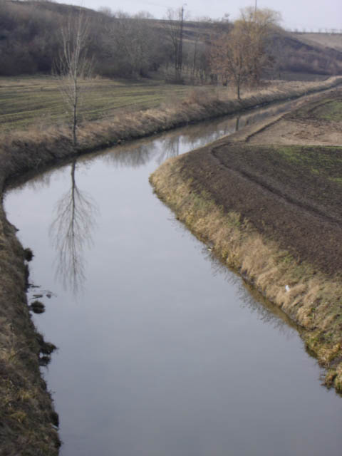
caption = Krivaja near Mali Iđoš
origin =Subotička Peščara ,Vojvodina ,Serbia
mouth =Canal Danube-Tisa-Danube atTurija ,Vojvodina ,Serbia
basin_countries =Serbia
length = 109 km
elevation = 131 m
discharge =
watershed = 956 km²The Krivaja (Serbian
Cyrillic : Криваја) is a river in northernSerbia . With the length of 109 km it is the longest river that flows completely within the borders of Serbian province ofVojvodina .Upper Course
The Krivaja springs out in the
Subotička Peščara , from the several streams which meet southwest of the village ofŽednik . The longest stream originates from "Pavlovac hillock" (Cyrillic: "Павловац") northeast ofBajmok , one of the most populous villages in Vojvodina. The stream passes between the village ofĐurđin and "Jaramazov hillock" (Cyrillic: "Јарамазов") before it meets the shorter, northern stream (already named the Krivaja) and continues to the south.The river passes next to the villages of
Mali Beograd andZobnatica , a tourist resort and site of the famous stud-farm, before it reaches the town ofBačka Topola . At Zobnatica, the Krivaja is dammed, creating 5,5 km long artificialZobnatica lake , with an area of 2,55 km², used for irrigation and tourism.Lower Course
The river turns west after the Bačka Topola and then turns sharply again to the southeast, near the village of
Bajša and all three settlements that constitute the municipality of Mali Iđoš: the small town ofMali Iđoš and the villages ofLovćenac andFeketić . At the town ofSrbobran , the Krivaja turns east, carving a shallow, 15 km long valley, in which it meanders for 33 km before it empties into the "Veliki Kanal" (Cyrillic: "Велики канал"; "Great canal"), part of theCanal Danube-Tisa-Danube . Total meandering ratio of the whole river is 65:109 (in the valley 15:33), thus the name (Krivaja; Serbian for "winding river"). The village ofTurija stands on the Krivaja's mouth into the canal, at an altitude of 76 m.The Krivaja drains an area of 956 km², belongs to the
Black Sea drainage basin and it is not navigable.References
* "Mala Prosvetina Enciklopedija", Third edition (1985); Prosveta; ISBN 86-07-00001-2
* Jovan Đ. Marković (1990): "Enciklopedijski geografski leksikon Jugoslavije" Svjetlost-Sarajevo; ISBN 86-01-02651-6ee also
*
Geography of Serbia
*Geography of Vojvodina
Wikimedia Foundation. 2010.