- Affoltern im Emmental
Infobox Swiss town
subject_name = Affoltern im Emmental
municipality_name = Affoltern im Emmental
municipality_type = municipality
imagepath_coa = Affoltern im Emmental-coat of arms.svg|pixel_coa=
languages = German
canton = Berne
iso-code-region = CH-BE
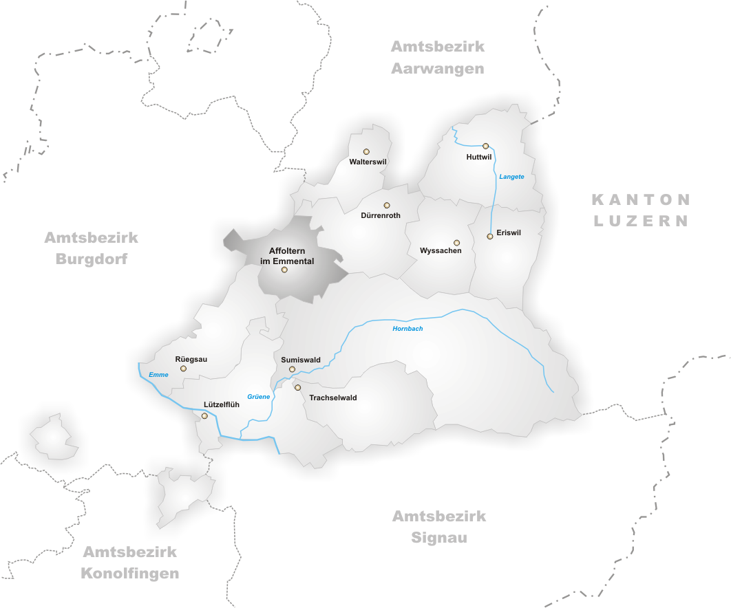
district = Trachselwald
lat_d=47|lat_m=3|lat_NS=N|long_d=7|long_m=43|long_EW=E
postal_code = 3416
municipality_code = 0951
area = 11.5
elevation = 801|elevation_description=
population = 1167|populationof=2005
website = www.affolternimemmental.ch
mayor = Christian Kobel|mayor_asof=|mayor_party=
mayor_title = |list_of_mayors =
places = Weier, Rinderbach, Eggerdingen, Heiligenland, Hirsegg
demonym =
neighboring_municipalities= Walterswil,Dürrenroth ,Sumiswald ,Rüegsau ,Heimiswil ,Wynigen
twintowns = |Affoltern im Emmental is a municipality in the district of Trachselwald in the canton of Berne in
Switzerland . The hamlets of Weier, Rinderbach, Eggerdingen, Heiligenland and Hirsegg belong to Affoltern im Emmental.Geography
As indicated by the name Affoltern i.E. is situated in the
Emmental . It is bordered by Walterswil,Dürrenroth ,Sumiswald ,Rüegsau ,Heimiswil andWynigen . The well-known mountainLueg is located in Affoltern.Transportation
A train station is located in Weier, which connects it to
Huttwil in the one direction andLützelflüh in the other.Etymology
The name Affoltern is a derivation of the old German for apple-tree, "Affal Tra". The apple-tree features prominently in Affoltern's coat of arms.
References
*de
External links
*HDS|547
* [http://www.cheesevillage.ch/startseite.html Official website]
Wikimedia Foundation. 2010.