- U.S. Route 350
Infobox CO Highway
type=US
route=350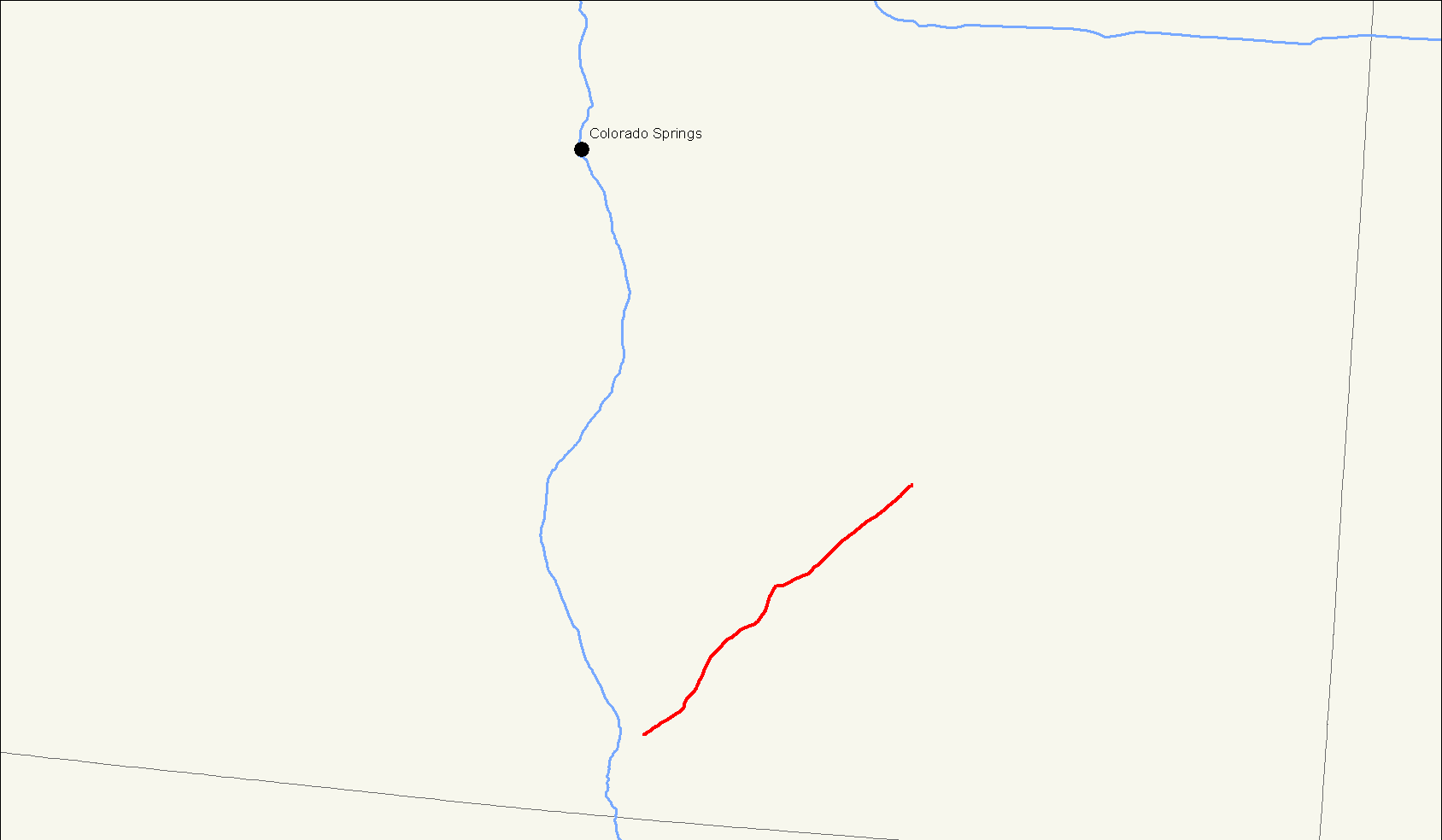
length_mi=73.00
length_round=2
length_ref=cite web|url=http://www.dot.state.co.us/app_DTD_DataAccess/Highways/index.cfm?fuseaction=Description&route=350&begRefPt=0&endRefPt=500&Printable=true|title=Segment list for US 350|accessdate=2007-05-13]
formed=
dir1=West
from=Jct|state=CO|US|160 near Trinidad
junction=
dir2=East
to=Jct|state=CO|US|50 in La Junta
previous_type=CO
previous_route=348
next_type=CO
next_route=368U.S. Highway 350 is a 73.00 mile (117.48 km) long northeast-southwest
United States highway located entirely within the state ofColorado . US 350, signed as an east-west highway, is a vital corridor in the isolated region. Its history predates the 1926 creation of the numbered US highway system as the route parallels part of the Mountain Branch of the historicSanta Fe Trail .As of 2004, the highway's eastern terminus is in La Junta at an intersection with U.S. Highway 50. Its western terminus is east of Trinidad at an intersection with U.S. Highway 160.
History
Until the 1990s, US 350 continued on into Trinidad, where it intersected with Interstate 25. Prior to the creation of I-25, the road terminated at U.S. Highway 85 and U.S. Highway 87.
ee also
Related U.S. Routes
*
U.S. Route 50
*U.S. Route 150
*U.S. Route 250
*U.S. Route 450
*U.S. Route 550
*U.S. Route 650 References
External links
* [http://www.geocities.com/usend5059/End350/end350.htm Endpoints of US highways]
Wikimedia Foundation. 2010.