- Montmelon
-
Montmelon Country Switzerland Canton Jura District Porrentruy Coordinates 47°21′N 07°11′E / 47.35°N 7.183°ECoordinates: 47°21′N 07°11′E / 47.35°N 7.183°E Population 114 (2003) - Density 10 /km2 (25 /sq mi) Area 11.97 km2 (4.62 sq mi) Elevation 594 m (1,949 ft) Postal code 2883 SFOS number 6797 Localities Montmelon-Dessus, Montmelon-Dessous, Ravines Surrounded by Asuel, Saint-Ursanne, Montenol, Epauvillers, Saint-Brais, Glovelier, Boécourt, Cornol, Courgenay, Seleute, Ocourt Website Montmelon.ch
SFSO statistics
 Montmelon
View map of Montmelon Montmelon is a village and former municipality in the district of Porrentruy in the canton of Jura in Switzerland. Since January 1, 2009 it is a part of the new municipality Clos du Doubs.
References
The municipality was composed of several villages (Montmelon-Dessus, Montmelon-dessous, Ravines) and of many dispersed farms. The municipality had approximately 100 inhabitants, many of whom are farmers.
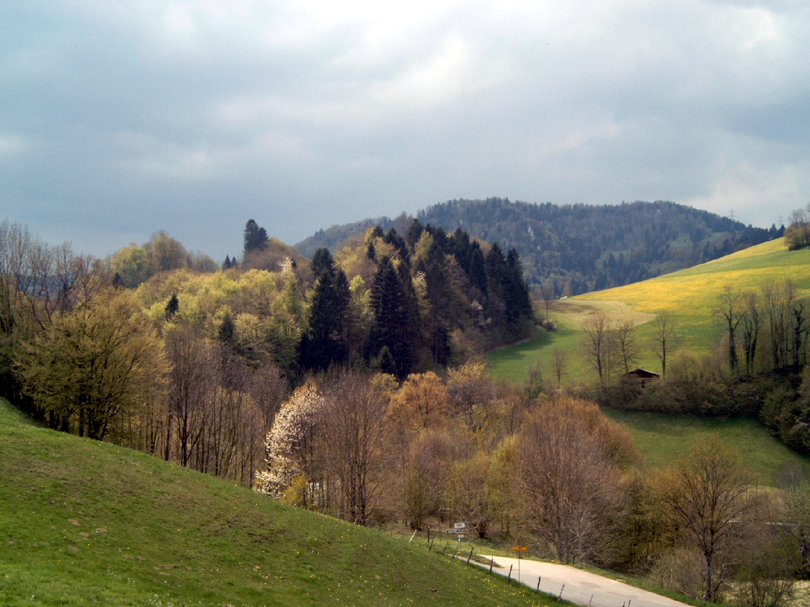
 Montmelon, Doubs, Jura in spring.
 Categories:
- Villages in the canton of Jura
- Former municipalities of the canton of Jura
- Clos-du-Doubs
- Canton of Jura geography stubs

Wikimedia Foundation. 2010.