- Pulau Sudong
SG neighbourhood
image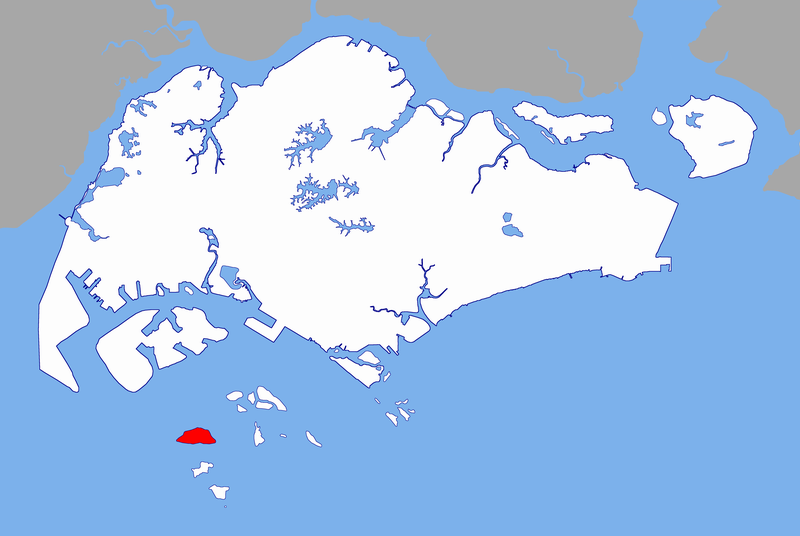
englishname= Pulau Sudong
chinesename= 苏东岛
poj=
pengim=
pinyin= sūdōng dǎo
malayname= Pulau Sudong
tamilname=Pulau Sudong is a 209-
hectare coral island off the southern coast ofSingapore , it was enlarged through aland reclamation process during the late 1970's.Restricted area
Since the early 1980s, the island together with
Pulau Senang andPulau Pawai , these three islands (See Figure 1) formed theSingapore Armed Forces southern islandsmilitary training area and live-firing zone. [ [http://www.mindef.gov.sg/imindef/news_and_events/nr/1998/oct/08oct98_nr.html Live explosive being tested on civilian structure in the Southern islands live-firing area.] ] As with all other military installations within the country, the entire live-firing zone is strictly off limits to all civilians at all times of the day and night [ [http://www.mindef.gov.sg/imindef/news_and_events/nr/2005/jan/06jan05_nr.html Typical MINDEF notice during live-firing ex] ] unless contracted byMINDEF on official duties to perform maintenance on the island's calibration facilities that monitors the live-firing range located on the nearby islands of Pulau Pawai and Pulau Senang.Also, the island's
airstrip anddock is maintained by SAF with most areas vegetated by dense foliage (See Fig. 2). As a result of this, the island is wildlife haven for migratory birds and plants alike.Etymology and history
"Sudong" is the same as "tudong" in Malay, a cone-shaped food cover made from
matting ; it is also used as head covers by padi planters.The government
malaria research station, originally onPulau Belakang Mati , was on the island.
=PanoramicReferences
*Victor R Savage, Brenda S A Yeoh (2004), "Toponymics - A Study of Singapore Street Names", Eastern University Press, ISBN 981-210-364-3
External links
* [http://maps.google.com/maps?om=1&ie=UTF8&z=15&ll=1.206347,103.719692&spn=0.015403,0.032101&t=k Satellite image of Pulau Sudong] -
Google Maps
Wikimedia Foundation. 2010.