Kgalagadi District Municipality
- Kgalagadi District Municipality
Zamuni
code=DC45
location=
area=
seat=Kuruman
neighbours=
mayor=
population=176 899 [ [http://www.demarcation.org.za/municprofiles2003/index.asp Municipal Profiles] ]
population density=
habitations=
habitation density=
races=
languages=Setswana
website=
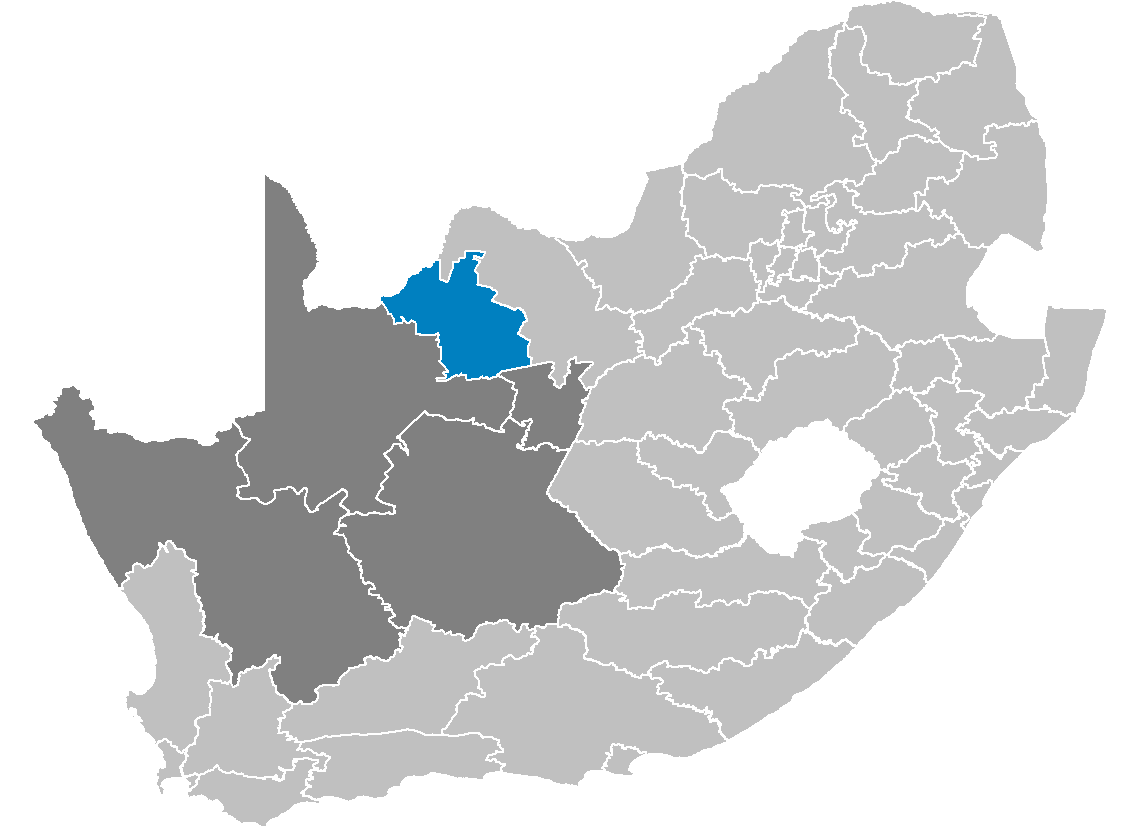
Kgalagadi is one of the five districts of the Northern Cape province of South Africa. The seat of Kgalagadi is Kuruman. The majority of its 176,899 people speak Setswana (2001 Census). The district code is DC45.
Geography
Neighbours
Kgalagadi is surrounded by:
* Bophirima (DC39) to the north-east
* Siyanda (DC8) to the south-west
* the republic of Botswana in the north-west
Local municipalities
The district contains the following local municipalities:
Ethnic group
References
* [http://www.demarcation.org.za/ Municipal Demarcation Board]
* [http://www.statssa.gov.za/census01/html/default.asp Stats SA Census 2001 page]
* [http://www.elections.org.za/Elections2004_Static.asp Independent Electoral Commission 2004 election results]
Wikimedia Foundation.
2010.
Look at other dictionaries:
Kgalagadi District Municipality — Kgalagadi Kgalagadi District Municipality Kgalagadi (blau) in Nordkap (dunkelgrau) Staat: Südafrika … Deutsch Wikipedia
Dr Ruth Segomotsi Mompati District Municipality — A map of the North West showing Dr Ruth Segomotsi Mompati Dr Ruth Segomotsi Mompati District Municipality (formerly Bophirima District Municipality[1]) is one of the 4 districts of North West prov … Wikipedia
Siyanda District Municipality — Siyanda is one of the 5 districts of the Northern Cape province of South Africa. The seat of Siyanda is Upington. The majority of its 209 883 [ [http://www.demarcation.org.za/municprofiles2003/index.asp Municipal Profiles] ] people speak… … Wikipedia
Central District Municipality — Central is one of the four districts of North West province in South Africa. Its capital is Mafikeng, which is also the capital of the province.GeographyNeighboursCentral has the following neighbours: * The Republic of Botswana to the north *… … Wikipedia
Kgalagadi (Distrikt) — Kgalagadi Kgalagadi District Municipality Kgalagadi (blau) in Nordkap (dunkelgrau) Staat: Südafrika … Deutsch Wikipedia
Kgalagadi — bezeichnet: die Kalahari Wüste auf Setswana eine Sprache im südlichen Afrika, siehe Kgalagadi (Sprache) einen Distrikt in Botsuana, siehe Kgalagadi District einen Distrikt in der südafrikanischen Nordkap Provinz, siehe Kgalagadi District… … Deutsch Wikipedia
Bophirima District Municipality — Bophirima is one of the 4 districts of North West province of South Africa. The seat of Bophirima is Vryburg. The majority of its 439 637 people speak Setswana (2001 Census). The district code is DC39. It is South Africa s largest beef producing… … Wikipedia
District Management Area — A map of South African districts showing the District Management Areas before 2011 In South Africa, District Management Area (DMA) was the name given to areas within a district municipality that did not fall within any local municipality, and… … Wikipedia
Mier Local Municipality — Mier Local municipality Location in the N … Wikipedia
Distrikte Südafrikas — (nummeriert) Südafrika ist in 52 Distrikte aufgeteilt. Es gibt 6 Metropolitan (gekennzeichnet mit *) und 46 District Municipalitys). Inhaltsverzeichnis 1 Westkap 2 Ostkap … Deutsch Wikipedia