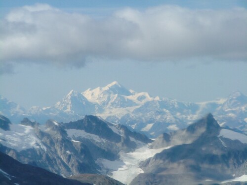
- Fairweather Range
Geobox|Range
name=Fairweather Range

image_caption=Mount Fairweather
country=United States
country1=Canada
region=Alaska | region1=British Columbia
parent=Saint Elias Mountains
border=
length_imperial=| length_round=-1| length_orientation=
width_imperial =| width_round=-1 | width_orientation=
highest=Mount Fairweather
highest_elevation=4671
highest_lat_d=58|highest_lat_m=54|highest_lat_s=26|highest_lat_NS=N
highest_long_d=137|highest_long_m=31|highest_long_s=36|highest_long_EW=W
geology= | period= | orogeny=
map_caption=The Fairweather Range is amountain range located in the U.S. state ofAlaska and the Canadian province ofBritish Columbia . It is the westernmost range of theSaint Elias Mountains . The northernmost section of the range is situated inTashenshini Provincial Park while the southernmost section resides inGlacier Bay National Park , [http://bivouac.com/ArxPg.asp?ArxId=1093 Bivouac.com: Fairweather Range] ] in the Hoonah-Angoon Census Area. [gnis|1421837]Peaks of this range include
Mount Fairweather , the highest point in British Columbia and Mount Quincy Adams convert|4150|m|ft|0|abbr=on.References
Wikimedia Foundation. 2010.
