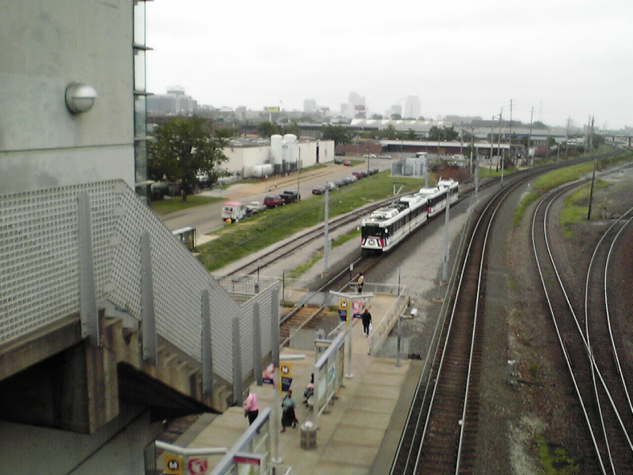
Grand (St. Louis MetroLink)
- Grand (St. Louis MetroLink)
Infobox Station
name=Grand

image_size=
image_caption=
address=3560 Scott Avenue
St. Louis, Missouri 63110
line=St. Louis MetroLinkrail color box|system=STML|line=Mainrail color box|system=STML|line=Shrewsbury
other=
platform=Island platform
tracks=
parking=
bicycle=
baggage_check=
passengers=4,455 daily
pass_year=FY2007
pass_percent=0
pass_system=
opened=July 31 1993
closed=
rebuilt=
ADA=yes
code=
owned=Bi-State Development Agency dba Metro
zone=
services=
mpassengers=
Grand is a St. Louis MetroLink station. This station is located below a Grand Boulevard viaduct and is accessible by two elevators, stairs, and a ramp on Scott Avenue. The station is near Saint Louis University and Grand Center. At opposite ends of the viaduct there is a Del Taco and a gas station with a convenience store at the north end and a Captain D's and Rally's at the south end.__NOTOC__
Bus connections
on Grand Boulevard
*70 Grand
*13 Union
on Scott Avenue
*15 Hodiamont
*42 Sarah
External links
* [http://www.metrostlouis.org/ St. Louis Metro]
Wikimedia Foundation.
2010.
Look at other dictionaries:
St. Louis MetroLink — Infobox Public transit name = St. Louis MetroLink imagesize = 100px locale = St. Louis metropolitan area transit type = Light rail began operation = July 31, 1993 system length = 46 mi (74 km) lines = 2 stations = 37 ridership = 67,684 (FY 2007)… … Wikipedia
Convention Center (St. Louis MetroLink) — Convention Center Station statistics Address 600 North 6th Street St. Louis, Missouri 63101 Lines Red Line … Wikipedia
Shiloh-Scott (St. Louis MetroLink) — Infobox Station name=Shiloh Scott image size= 250 px image caption= address=880 Metro Plaza Lane Shiloh, IL 62221 line=St. Louis MetroLinkrail color box|system=STML|line=Main other= platform=Island platform tracks= parking=645 civilian spaces (50 … Wikipedia
8th & Pine (St. Louis MetroLink) — Infobox Station name=8th Pine image size= image caption= address=323 North 8th Street St. Louis, Missouri 63101 line=St. Louis MetroLinkrail color box|system=STML|line=Mainrail color box|system=STML|line=Shrewsbury other= platform= tracks=… … Wikipedia
St. Louis MetroLink — 38° 37′ 32″ N 90° 13′ 15″ W / 38.62565, 90.22073 … Wikipédia en Français
MetroLink (St. Louis) — Not to be confused with Metrolink (Southern California). MetroLink A view of the MetroLink system passing through Bellevil … Wikipedia
Grand Center, St. Louis — Grand Center, located just north of the Saint Louis University campus, bills itself as the arts district of St. Louis, Missouri.The phrase can refer to the district itself (which is located within Midtown), or to the not for profit agency, Grand… … Wikipedia
MetroBus (St. Louis) — MetroBus Slogan Connecting People With Places Found … Wikipedia
Streetcars in St. Louis, Missouri — A map of streetcar routes in St. Louis in the mid 20th century Streetcars in St. Louis, Missouri operated as part of the transportation network of St. Louis from the middle of the 19th century through the early 1960s. During the first forty years … Wikipedia
Martin Luther King Bridge (St. Louis) — Martin Luther King Bridge MLK bridge from Eads Bridge Metro station, IL side Other name(s) Veterans Bridge Carries 3 lanes (1 westbound and 2 eastbound) of Route 799 … Wikipedia

