- Colorado State Highway 15
-
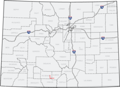
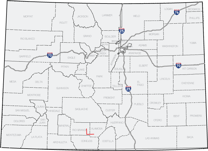
State Highway 15
Route information Maintained by CDOT Length: 22.834 mi[1] (36.748 km) Major junctions West end: 
 US 160/285 in Monte Vista
East end:  US 285, SH 17 south of Alamosa
Location Counties: Conejos, Rio Grande Highway system ←  SH 14
SH 14SH 16  →
→State Highway 15 in the U.S. state of Colorado is a north–south, east–west state highway in the San Luis Valley region of Southern Colorado. It connects the two towns of Monte Vista and Alamosa. There is a gap in the route.
Contents
Route description
The route begins at a concurrency between US 285 and US 160. After about 12 miles, at the Rio Grande-Conejos county line, there exists an eight-mile gap[1] filled in by Conejos County Route 6.[2] After the gap, SH 15 reappears, crosses over the La Jara Creek, and ends at US 285 south of Alamosa.
History
The route was established in the 1920s as a much longer route, but it was gradually cut down to its current length. The route was paved in 1957.[2]
Major intersections
County Location Mile[1] Destination Notes Rio Grande Monte Vista 0.000 US 285 and US 160West end of route Gap in SH 15, gap filled in by Conejos CR 6 Conejos 30.915 US 285East end of route References
- ^ a b c "Segment list for SH 15". http://www.dot.state.co.us/app_DTD_DataAccess/Highways/index.cfm?fuseaction=Description&route=015&begRefPt=0&endRefPt=500&Printable=true. Retrieved 2007-05-12.
- ^ a b "Colorado Routes 1-19". http://www.mesalek.com/colo/r1-19.html#15. Retrieved April 1, 2010.
Categories:- Transportation in Rio Grande County, Colorado
- Transportation in Alamosa County, Colorado
- State highways in Colorado

Wikimedia Foundation. 2010.