- Palo Verde National Park
Infobox_protected_area | name = Palo Verde National Park
iucn_category = II

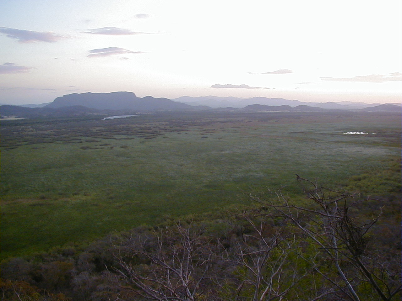
caption = Marshlands flanking theTempisque River in Palo Verde National Park.
locator_x =
locator_y =
location =Costa Rica
nearest_city =
lat_degrees =
lat_minutes =
lat_seconds =
lat_direction =
long_degrees =
long_minutes =
long_seconds =
long_direction =
area = 184 km²
established =1978
visitation_num =
visitation_year =
governing_body = National System of Conservation Areas (SINAC )The Palo Verde National Park, in Spanish _es. Parque Nacional Palo Verde is a
National Park ofCosta Rica , part of theTempisque Conservation Area , that contains much of the area of the valley of theTempisque River and covers an area of 45,492acres inGuanacaste Province , 30 km west ofCanas . The surrounding region is mostly tropical dry forests, and the Park concentrates on conserving vital floodplain, marshes, limestone ridges, and seasonal pools from the encroachment of civilization which was putting the ecology of the area at risk.The park has a Ranger Station which open for visitors from 8am to dusk, and has potable water and restrooms. There is also a Biological Station on the site operated by the
Organization for Tropical Studies . A major feature of the park is the density and variety of bird species, a major factor in the creation of the reserve, due in part to its diverse ecology, with 15 differenttopographical zones from evergreen forests to mangrove swamps. Birds spotted regularly in the park includeGreat Curassow s,Scarlet Macaw s,white ibis ,roseate spoonbill s,anhinga s,jabiru s, andwood stork s among many others.External links
* [http://www.costarica-nationalparks.com/paloverdenationalpark.html Palo Verde National Park] at Costa Rica National Parks
* [http://centralamerica.com/cr/parks/mopaloverde.htm Overview of the park] from Moon Handbooks
* [http://www.wikicostarica.com:16080/index.php/Palo_Verde_National_Park Photos of Palo Verde]
Wikimedia Foundation. 2010.
