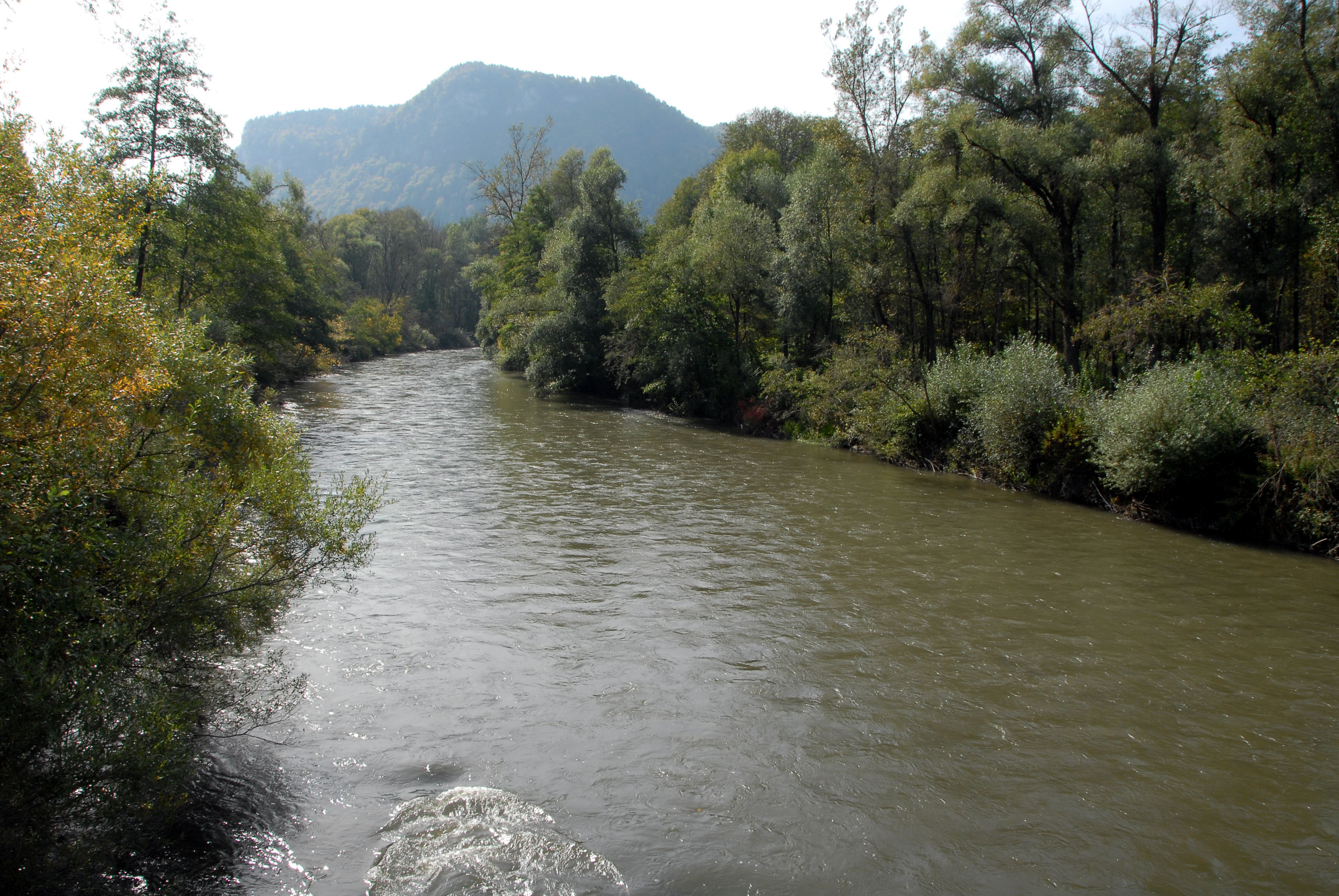
- Gurk River
Infobox River | river_name = Gurk

caption = River Gurk near Truttendorf in the community ofGrafenstein
origin = the Gurksee and the Torersee in theGurktaler Alps
mouth = the RiverDrava
basin_countries =Austria
length = 120 km
elevation = 1970 m ("Gurksee")
2010 m ("Torersee")
discharge =
watershed = 2581.63 km²The Gurk (Slovene: Krka) is a river in Carinthia,Austria . It is the second longest river in that state after theDrava .A northern tributary of the river
Drava , the 120 km long Gurk flows from underNock Mountains , near the border of Austrian provinces ofStyria and Carinthia. Its sources are two small lakes, the Gurksee and the Torersee, are located in two small cirques. The Gurksee has an elevation 1970 m, has an area of 4,000 m², and is 1.5 m deep; the Torersee lies 2010 m above sea level, has an area of 3,500 m², and is 1.2 m deep. Since both lake are completely frozen in the Winter, they contain no fish.It flows eastward through the Gurktal valley. Near Straßburg it turns southwards and flows into the Drava between
Klagenfurt andVölkermarkt . Its tributaries include theGörtschitz , the Metnitz, and the Glan.References
*The information in this article is based on a translation of its German equivalent.
*W. Honsig-Erlenburg, G. Wieser: "Die Gurk und ihre Seitengewässer". Verlag des Naturwissenschaftlichen Vereins für Kärnten, Klagenfurt 1997, ISBN 3-85328-009-9
Wikimedia Foundation. 2010.
