Maybole railway station — Maybole Maybole station from Greenside in 2005 Location … Wikipedia
Stranraer Harbour railway station — Infobox UK station name = Stranraer code = STR caption = Stranraer Harbour station and ferry terminal manager = First ScotRail locale = Stranraer borough = Dumfries and Galloway latitude = 54.910 longitude = 5.02 platforms = 1 lowusage0203 =… … Wikipedia
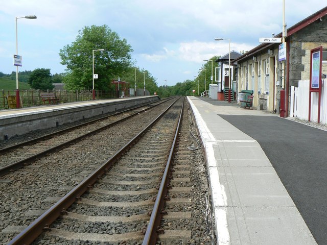
Barrhill, South Ayrshire — infobox UK place country = Scotland static static image caption= latitude= 55.06 longitude= 04.46 official name =Barrhill population = 400 unitary scotland= South Ayrshire lieutenancy scotland= Ayrshire and Arran constituency westminster= Ayr,… … Wikipedia
Girvan and Portpatrick Junction Railway — [v · d · … Wikipedia
Maybole and Girvan Railway — [v · d · … Wikipedia
Dunure — Harbour Council area Ayrshire Country Scotland … Wikipedia
Maybole — Maps for NS301100 Maybole (Scottish Gaelic: Am Magh Baoghail, pronounced [ə maɣ pɯː.al]) is a … Wikipedia
Maidens — For the rocks in the North Channel, see The Maidens. For other uses, see Maiden (disambiguation). Maidens is a village in South Ayrshire, Scotland.This picturesque fishing village lies on the Firth of Clyde coast, around 2 kilometres… … Wikipedia
Colmonell — is a small village in the Stinchar Valley, South Ayrshire. The nearest town is Girvan, ten miles away. The River Stinchar runs through the valley and the Colmonell area boasts three ruined castles: Craigneil Castle (thirteenth century), Kirkhill… … Wikipedia
Ayrshire — This article is about the region in Scotland. For the cattle originating from Ayrshire, see Ayrshire cattle. For the small city in the United States, see Ayrshire, Iowa. Ayr County (until circa 1890) … Wikipedia

