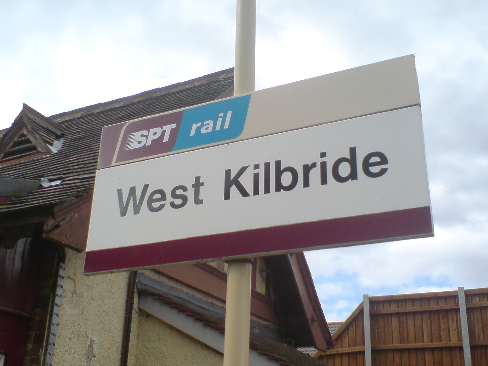
West Kilbride railway station
- West Kilbride railway station
Infobox UK station
name = West Kilbride
caption =
code = WKB
manager = First ScotRail
pte = SPT
locale = West Kilbride
borough = North Ayrshire
latitude = 55.6967
longitude = -4.8514
gridref = NS208484
usage0203 = 0.166
usage0405 = 0.166
usage0506 = 0.179
platforms = 1
years = 1 May 1878
events = OpenedWest Kilbride railway station is a railway station in West Kilbride, North Ayrshire, Scotland. The station is managed by First ScotRail and is on the Ayrshire Coast Line.
History
The station was opened on 1 May 1878 by the Glasgow and South Western Railway as part of the extension of the former Ardrossan Railway to Largs. [Butt, page 245] The present station building was designed in 1900 by the noted architect James Miller. [ [http://www.codexgeo.co.uk/dsa/architect_full.php?id=M000001 Dictionary of Scottish Architects: James Miller] ] Originally a two platform station, the southbound platform was demolished as part of the electrification works in 1985. The former northbound line (to Largs) is electrified and signalled for bi-directional working, being used by passenger trains for both directions, and by northbound freight trains to the Hunterston Terminal. The former southbound track is signalled for southbound working only and is not electrified, being used by southbound trains from Hunterston.The station building still stands but is no longer used as part of the station itself. Since the ticket office closed the building has been home to shops and cafés, and currently holds a restaurant.
References
Notes
Sources
*
rail line
previous = Fairlie
next = Ardrossan South Beach
route = First ScotRail
"'Ayrshire Coast Line
col = FF80C0rail line one to two
previous = Fairlie
"Line and station open
next1 = Ardrossan South Beach
"Line and station open
next2 = Ardrossan Town
"Line closed, station open
route1 = Glasgow and South Western Railway
G&SW light">"'Largs Branch
route2 = Glasgow and South Western Railway
G&SW light">"'Largs Branch
col = G&SW colour
###@@@KEYEND@@@###
Wikimedia Foundation.
2010.
Look at other dictionaries:
West Kilbride — Infobox UK place official name= West Kilbride gaelic name= scots name= local name= country= Scotland map type= Scotland population= 4,393 population density= os grid reference= NS205485 edinburgh distance= london distance= latitude= 55.6966… … Wikipedia
Pollokshaws West railway station — Infobox UK station name = Pollokshaws West code = PWW caption = manager = First ScotRail locale = Pollokshaws borough = Glasgow pte = SPT latitude = 55.824 longitude = 4.302 platforms = 2 lowusage0203 = 44,477 lowusage0405 = 51,655 lowusage0506 … Wikipedia
Ardrossan Town railway station — Infobox UK station name = Ardrossan Town manager = First ScotRail code = ADN locale = Ardrossan borough = North Ayrshire latitude = 55.6398 longitude = 4.8123 gridref = NS230420 pte = SPT lowusage0203 = 7,132 lowusage0405 = 13,539 lowusage0506 =… … Wikipedia
Bere Alston railway station — Infobox UK station caption = Looking west towards the junction name = Bere Alston manager = First Great Western code = BAS locale = Bere Alston borough = West Devon latitude = 50.4863 longitude = 4.19982 lowusage0203= 37,944 lowusage0405= 29,552… … Wikipedia
Crossmyloof railway station — Crossmyloof Northward view from the exit of Platform 1, showing the rebuilt (2006) overbridge … Wikipedia
Ardrossan South Beach railway station — Infobox UK station name = Ardrossan South Beach code = ASB caption = manager = First ScotRail pte = SPT locale = Ardrossan borough = North Ayrshire latitude = 55.6407 longitude = 4.8002 gridref = NS238421 lowusage0405 = 180,767 lowusage0506 = 186 … Wikipedia
Fairlie railway station — Infobox UK station name = Fairlie code = FRL manager = First ScotRail pte = SPT locale = Fairlie borough = North Ayrshire latitude = 55.7518 longitude = 4.8531 gridref = NS209546 lowusage0203 = 30,462 lowusage0405 = 30,167 lowusage0506 = 32,568… … Wikipedia
Okehampton railway station — Okehampton Location Place Okehampton … Wikipedia
East Kilbride — Infobox UK place official name= East Kilbride gaelic name= Cille Bhrìghde an Ear country = Scotland population= 73,796 [cite web|publisher=Scotland s Census Results Online|title =Comparative Population Profile: East Kilbride Locality |… … Wikipedia
Newfoundland Railway — Reporting mark NFLD Locale Newfoundland Dates of operation 1898–1949 (merged into CN), aban … Wikipedia