- Norbert F. Beckey Bridge
-
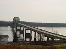
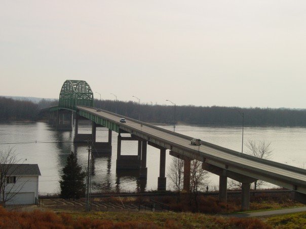
Norbert F. Beckey Bridge 
Carries 2 lanes of Iowa Highway 92 and IL 92 Crosses Mississippi River Locale Muscatine, Iowa and Illinois Total length 3,018 feet (920 m)[1] Opened December 2, 1972 Daily traffic 4,150[1] Coordinates 41°25′21″N 91°02′01″W / 41.4225°N 91.03361°W The Norbert F. Beckey Bridge, or Beckey Bridge for short, carries Iowa Highway 92 and Illinois Route 92 across the Mississippi River between Muscatine, Iowa and Rock Island County, Illinois. Completed in December 1972, it replaced the Muscatine High Bridge which stood from 1891-1973.[1] A pillar from the old High Bridge still stands at Riverside Park in Muscatine.
The bridge which stretches 1,500 feet from Iowa to Illinois across the Mississippi River, is awash in a rainbow of colors emanating from 43 light-emitting diode (LED) fixtures.
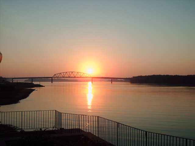
 Sunrise over the Mississippi River
See also
References
- ^ a b "Bridges: Iowa, Illinois order safety inspections". Quad City Times. http://www.qctimes.com/articles/2007/08/02/news/local/doc46b2b2d1e0291186322522.txt. Retrieved 2007-12-19.
EC&M "Iowa Bridge Spans the Gap Between Infrastructure and Art"
External links
Bridges of the Mississippi River Upstream
I-280 Bridge

Norbert F. Beckey Bridge


Downstream
Keithsburg Rail Bridge
Minneapolis and St. Louis RailwayCategories:- Cantilever bridges
- Bridges over the Mississippi River
- Road bridges in Illinois
- Buildings and structures in Rock Island County, Illinois
- Buildings and structures in Muscatine County, Iowa
- Bridges completed in 1972
- Transportation in Rock Island County, Illinois
- Road bridges in Iowa
- United States bridge (structure) stubs
- Illinois building and structure stubs
- Iowa building and structure stubs

Wikimedia Foundation. 2010.