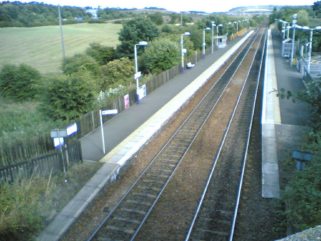
Dunfermline railway station — [v · d · … Wikipedia
Dunfermline Town railway station — For other uses, see Dunfermline railway station (disambiguation). Dunfermline Town St Margaret s Drive entra … Wikipedia
Rosyth — (pronounced Ross sythe) (Scottish Gaelic: Ros Saidhe or Ros Saoithe ) is a town located on the Firth of Forth on Scotland s east coast, a mile (1.6 km) south of the centre of Dunfermline, almost continuous with it and neighboring Inverkeithing.… … Wikipedia
Dalgety Bay railway station — Dalgety Bay Location Place … Wikipedia
Dunfermline — Coordinates: 56°04′19″N 3°26′21″W / 56.07192°N 3.43930°W / 56.07192; 3.43930 … Wikipedia
List of places in Fife — This List of places in Fife is a list of links for any town, village, hamlet, castle, golf course, historic house, hillfort, lighthouse, nature reserve, reservoir, river, and other place of interest in Fife, Scotland.compactTOC NOTOC… … Wikipedia
List of Singapore-related topics — This is a list of topics related to Singapore. For a similar list in alphabetical order, see list of Singapore related topics by alphabetical order. Those interested in the subject can monitor changes to the pages by clicking on Related changes… … Wikipedia
List of localities in Victoria (Australia) — Map of Local Government Areas in Victoria This is a list of locality names and populated place names in the state of Victoria, Australia, outside the Melbourne metropolitan area. It is organised by region from the south west of the state to the… … Wikipedia
Pembroke Dock — Coordinates: 51°41′36″N 4°56′45″W / 51.69333°N 4.94584°W / 51.69333; 4.94584 … Wikipedia
British anti-invasion preparations of World War II — entailed a large scale division of military and civilian mobilization in response to the threat of invasion by German armed forces in 1940 and 1941. The army needed to recover from the defeat of the British Expeditionary Force in France, and 1.5… … Wikipedia

