Woss Lake Provincial Park

Woss Lake Provincial Park

Infobox_protected_area | name = Woss Lake Provincial Park
iucn_category =


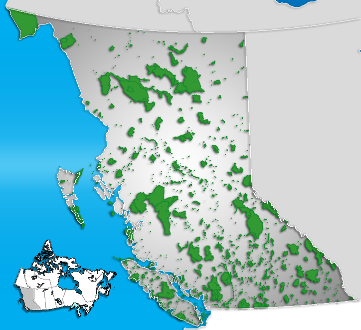
caption = Location of "Woss Lake Provincial Park" in British Columbia
locator_x = 115
locator_y = 216
location = British Columbia, Canada
nearest_city = Woss
lat_degrees = 50
lat_minutes = 6
lat_seconds = 5
lat_direction = N
long_degrees = 126
long_minutes = 37
long_seconds = 14
long_direction = W
area = 66.34 km²
established = 1995
visitation_num =
visitation_year =
governing_body = BC Parks

Woss Lake Provincial Park is a provincial park in British Columbia, Canada, located 75 kilometres southeast of Port McNeill.

History

The park was established 1995. Woss Lake Provincial Park is within the traditional territory of the Namgis First Nation. The park contains a portion of a First Nations traditional cross-island trade route known as the Grease Trail, which made its way over the Tahsis divide..

Geography

The park is 66.34 km². The park landscape includes the southern portion of Woss Lake, as well as very steep forested slopes above the lake and the permanent snowfields and north facing slopes of Rugged Mountain, part of the Haihte Range.

Conservation

Woss Lake Provincial Park is a very steep, forested, seldom visited wilderness area. The park contains Roosevelt elk populations, a salmon fishery and potentially, habitat for the endangered Vancouver Island marmot. The park also contains a nameless, intact secondary watershed of 16 km² that drains into the head of Woss Lake. This unnamed drainage contains valuable Chinook salmon and steelhead spawning habitat and a sensitive delta area with a variety of rare plant species.

Recreation

There are no recreation facilities in Woss Lake Provincial Park, but visitors with a boat, canoe or kayak can enjoy various activities ranging from backcountry hiking, skiing and mountaineering to camping, fishing, First Nations and nature appreciation and hunting.

ee also

*List of British Columbia Provincial Parks
*List of Canadian provincial parks

External links

* [http://www.env.gov.bc.ca/bcparks/explore/parkpgs/wosslake.html Woss Lake Provincial Park at BC Parks]


Wikimedia Foundation. 2010.

Игры ⚽ Поможем решить контрольную работу

Look at other dictionaries:

  • Woss Lake Provincial Park — IUCN Kategorie II …   Deutsch Wikipedia

  • Provincial Parks in British Columbia — Karte der Provincial Parks in British Columbia Die kanadische Provinz British Columbia unterhält 620 Provincial Parks (Stand: November 2010). Damit besitzt die Provinz nach den kanadischen Nationalparks das größte Parksystem des Landes. Über 13,5 …   Deutsch Wikipedia

  • List of British Columbia Provincial Parks — The following is a list of all British Columbia land currently managed by [http://www.env.gov.bc.ca/bcparks BC Parks] . Any parks that are closed are not currently listed.There were a number of provincial parks, protected areas and ecological… …   Wikipedia

  • Woss, British Columbia — Woss, British Columbia, commonly known as Woss Lake, is a small west coast village in the Nimpkish Valley, located 75 km (47 mi) south east of Port McNeill, and 128 km (80 mi) north of Campbell River on Highway 19, in northern Vancouver Island.… …   Wikipedia

  • Zeballos — Lage in British Columbia …   Deutsch Wikipedia

  • Courtenay, British Columbia — City of Courtenay Coat of arms of City of Courtenay Coat of arms …   Wikipedia

  • Comox, British Columbia — For other uses, see Comox (disambiguation). Town of Comox Comox Flag …   Wikipedia

  • Nanaimo — For other uses, see Nanaimo (disambiguation). City of Nanaimo Nanaimo …   Wikipedia

  • Vancouver Island Ranges — Geobox|Range name=Vancouver Island Ranges image caption=Golden Hinde, south aspect, August 2006. country=Canada region type=Province region=British Columbia parent=Insular Mountains highest=Golden Hinde highest elevation=2195 highest lat… …   Wikipedia

  • Insular Mountains — Geobox | Range name=Insular Mountains image caption=Golden Hinde, south aspect, August 2006. country=Canada region type=Province region=British Columbia parent=Pacific Cordillera highest=Golden Hinde highest elevation=2195 highest lat… …   Wikipedia

Share the article and excerpts

Direct link
Do a right-click on the link above
and select “Copy Link”