- Gardon
Infobox River
river_name = Gardon

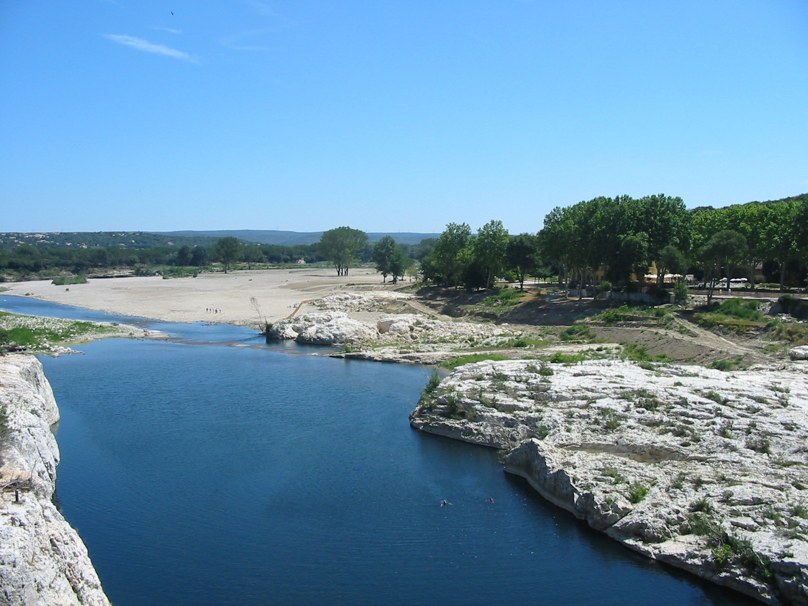
caption = The Gardon near thePont du Gard
origin =Cévennes
mouth = Rhône
coord|43|51|6|N|4|36|54|E|name=Rhône-Gardon|display=inline,title
basin_countries =France
length = 133 km
elevation =
discharge = 32 m³/s
watershed = 2,200 km²The Gardon or Gard (
Occitan and French: "Gardon, Gard") is ariver in southernFrance . It is the namesake of theGard "département".The Gardon is 133 km long including its longest
tributary "Gardon de Saint-Jean ". It rises in theCévennes range of mountains and ends into theRhône River (right-side tributary) at Beaucaire, across fromVallabrègues .Several of its tributaries are also called "Gardon".
The Roman
aqueduct Pont du Gard and the 16th-centuryPont Saint-Nicolas are two historic bridges that cross the Gardon. TheGorge du Gardon , which ends at Pont Saint-Nicolas, is a popular recreation area forkayaking ,canoeing ,rock climbing , andhiking .In September 2002 and again in December 2003, the Gardon had record level
flood s that damaged many of its bridges including the Pont Saint-Nicolas, which has since been fully restored.Places along the river
*
Lozère
*Gard :Anduze ,Saint-Jean-du-Gard ,Saint-André-de-Valborgne ,Remoulins ,Montfrin La Grand-Combe andAlès are situated on the "Gardon d'Alès", the major left tributary.References
*http://www.geoportail.fr
* [http://sandre.eaufrance.fr/app/chainage/courdo/htm/V71-0400.php?cg=V71-0400 The Gardon at the Sandre database]External links
* [http://www.regordane.info Regordane Info - The independent portal for The Regordane Way or St Gilles Trail. The Regordane Way runs alongside The Gardon river from Ners south-eastwards] (in English and French)
Wikimedia Foundation. 2010.
