Burgerbrug — 52°44′53″N 4°42′8″E / 52.74806, 4.70222 … Wikipédia en Français
Vakantiepark Zijpersluis — (Burgerbrug,Нидерланды) Категория отеля: Адрес: Ruigeweg 6a, 1754 HA Burge … Каталог отелей
Catherina Hoeve — (Burgerbrug,Нидерланды) Категория отеля: Адрес: Grote Sloot 78, 1754 JH Burgerbrug … Каталог отелей
List of windmills in Noord Holland — A list of windmills in the Dutch province of Noord Holland.{| class= wikitable ! Location! Name of mill! Type! Built! Notes! Photograph Aalsmeer De Leeuw Stellingmolen 1863 [http://www.molendatabase.nl/nederland/molen.php?nummer=621… … Wikipedia
Burgervlotbrug — 52°45′14″N 4°40′55″E / 52.75389, 4.68194 … Wikipédia en Français
Zijpe — Héraldique … Wikipédia en Français
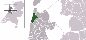
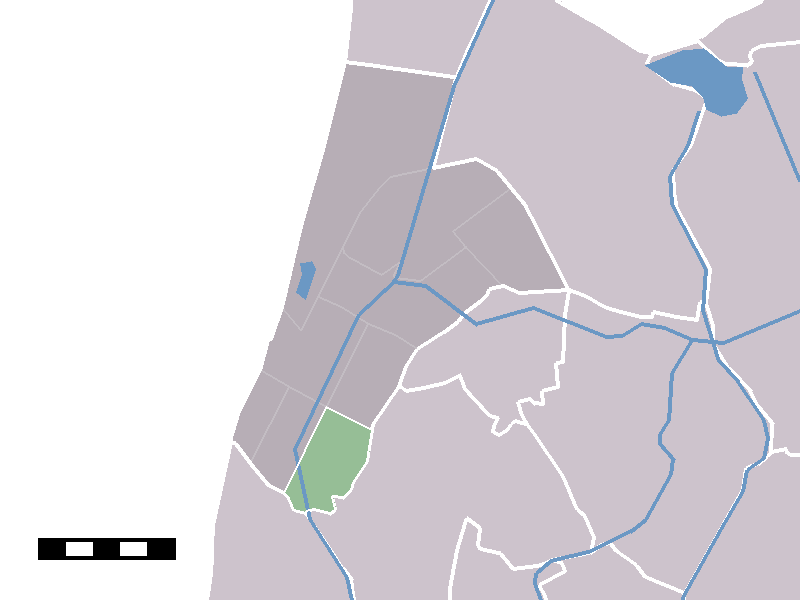
Zijpe — Infobox Settlement official name = Zijpe mapsize = 280px flag size = 120x100px image shield = Zijpe wapen.png shield size = 120x100px subdivision type = Country subdivision name = Netherlands subdivision type1 = Province subdivision name1 = North … Wikipedia
Kinderdijk — Coordinates: 51°53′N 4°38′E / 51.883°N 4.633°E / 51.883; 4.633 … Wikipedia
List of places in the Netherlands — This is an alphabetical list of places (cities, towns, villages) in the Netherlands. Lists per province can be found at:* List of towns in Groningen * List of towns in Friesland * List of towns in Drente * List of towns in Overijssel * List of… … Wikipedia
De Adriaan, Haarlem — Windmill De Adriaan De Adriaan is a windmill in the Netherlands that burnt down in 1932 and was rebuilt in 2002. The original windmill dates from 1779 and the mill has been a distinctive part of the skyline of Haarlem for centuries. Contents … Wikipedia