- Vatrop
Dutch town locator maps
mun_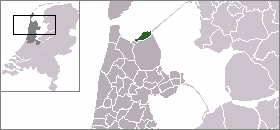
town_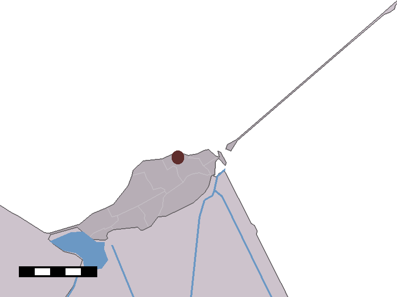
caption = The hamlet of Vatrop in the municipality of Wieringen.Vatrop (coord|52|56|N|5|0|E|type:city) is a hamlet in the Dutch province of
North Holland . It is a part of the municipality ofWieringen , and lies about 17 km southeast ofDen Helder . Vatrop is one of the oldest inhabited places of the former island.Vatrop has a population of around 25. Statistics Netherlands (CBS), "Kerncijfers postcodegebieden 2004" [http://www.cbs.nl/nl-NL/menu/themas/nederland-regionaal/nederland-regionaal/publicaties/publicaties/kerncijfers-postcodegebieden-2004.htm] : postcode 1779GE.]
References
Wikimedia Foundation. 2010.