Yard Creek Provincial Park
- Yard Creek Provincial Park
Infobox_protected_area | name = Yard Creek Provincial Park
iucn_category =
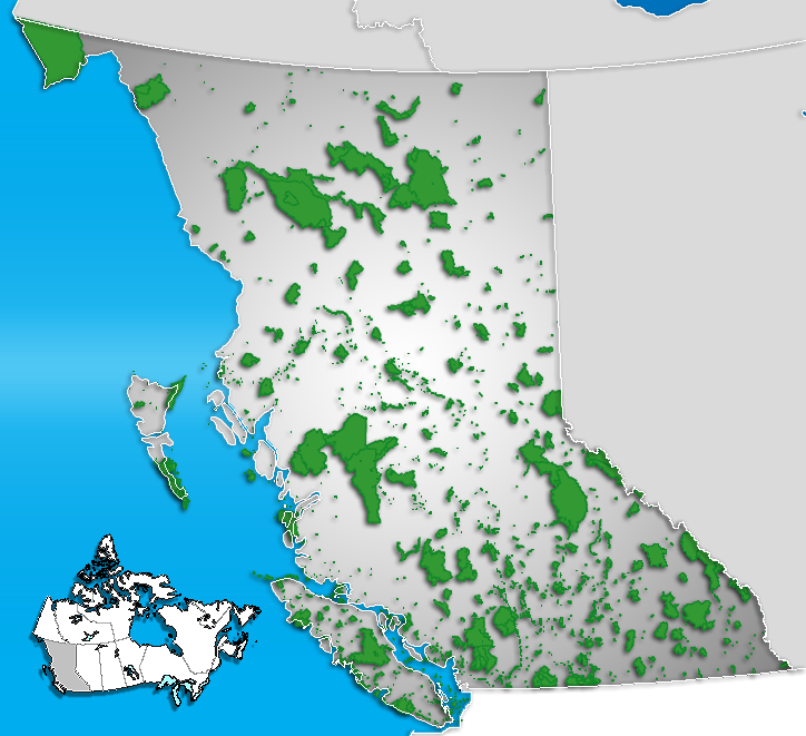
caption = Location of "Yard Creek Provincial Park" in British Columbia
locator_x = 216
locator_y = 200
location = British Columbia, Canada
nearest_city = Sicamous
lat_degrees = 50
lat_minutes = 54
lat_seconds =
lat_direction = N
long_degrees = 118
long_minutes = 48
long_seconds =
long_direction = W
area = 1.75 km²
established =
visitation_num =
visitation_year =
governing_body = BC ParksYard Creek Provincial Park is a provincial park located 15 kilometres east of Sicamous along the Trans-Canada Highway in British Columbia, Canada.
Conservation
The landscape surrounding Yard Creek Park is part of the Interior wetbelt characterized by cedar and hemlock forest and lush undergrowth. The park contains a variety of bird species including American dippers. These little birds dive into the icy waters of the creek and "fly" along under the water in search of water insects. They can be seen on the rocks along the creek.
Recreation
The park contains 65 quiet shaded tent and RV camping sites, hiking trails, and a popular day-use area with a log picnic shelter.
External links
* [http://www.env.gov.bc.ca/bcparks/explore/parkpgs/yard.html Yard Creek Provincial Park]
Wikimedia Foundation.
2010.
Look at other dictionaries:
Provincial Parks in British Columbia — Karte der Provincial Parks in British Columbia Die kanadische Provinz British Columbia unterhält 620 Provincial Parks (Stand: November 2010). Damit besitzt die Provinz nach den kanadischen Nationalparks das größte Parksystem des Landes. Über 13,5 … Deutsch Wikipedia
List of British Columbia Provincial Parks — The following is a list of all British Columbia land currently managed by [http://www.env.gov.bc.ca/bcparks BC Parks] . Any parks that are closed are not currently listed.There were a number of provincial parks, protected areas and ecological… … Wikipedia
Interstate Park — For other places with the same name, see Breaks Interstate Park. Coordinates: 45°23′30″N 92°39′55″W / 45.39167°N 92.66528°W / … Wikipedia
Secwepemc — Verbreitung der Salish Sprachen Secwepemc (‘People of the spread out place’ oder ‘scattered People’,[1] engl. Aussprache: ‘shuh kwehp im’, ‘suh Wep muh’ oder ‘She whep m’, auch als Shuswap bekannt) ist eine First Nation im Süden der kanadischen… … Deutsch Wikipedia
Shuswap — Verbreitung der Salish Sprachen Secwepemc (oder engl. Shuswap) heißt ein Indianervolk im Süden der kanadischen Provinz British Columbia. Es besteht aus 17 regionalen Stammesgruppen und besiedelt sein Wohngebiet bereits seit über 10.000 Jahren.… … Deutsch Wikipedia
Calgary — This article is about the Canadian city. For other uses, see Calgary (disambiguation). Calgary City City of Calgary … Wikipedia
environment — environmental, adj. environmentally, adv. /en vuy reuhn meuhnt, vuy euhrn /, n. 1. the aggregate of surrounding things, conditions, or influences; surroundings; milieu. 2. Ecol. the air, water, minerals, organisms, and all other external factors… … Universalium
Rimutaka Incline — Infobox rail line name = Rimutaka Incline image width = caption = H 199, one of the locomotives used on the Incline, preserved at the Fell Engine Museum. type = Railways Department regional rail system = status = Closed locale = Wellington, New… … Wikipedia
List of National Historic Sites of Canada — This is a complete list of the National Historic Sites of Canada. All such designations are made by the federal Minister of the Environment on the advice of the Historic Sites and Monuments Board of Canada . As of March 2008, there are 935 sites … Wikipedia
List of National Historic Sites of Canada in Ontario — Map of all coordinates from Google Map of all coordinates from Bing Export all coordinates as KML … Wikipedia