- Tull en 't Waal
-
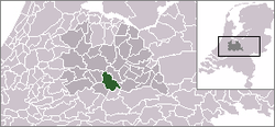
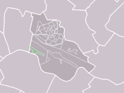
Tull en 't Waal — Village — The statistical district of Tull en 't Waal (lightgreen) in the municipality of Houten. Coordinates: 52°0′2″N 5°7′59″E / 52.00056°N 5.13306°ECoordinates: 52°0′2″N 5°7′59″E / 52.00056°N 5.13306°E Country Netherlands Province Utrecht Municipality Houten Population (2005) – Total 672 Time zone CET (UTC+1) – Summer (DST) CEST (UTC+2) Postal code Tull en 't Waal is a small village in the Dutch province of Utrecht. Until 1962, it was a separate municipality, but now it is a part of the municipality of Houten. Originally, there were two villages: 't Waal, at the site of the present village; and Tull, more to the south.
The statistical district of Tull en 't Waal had a population of about 500 in 2004.[1] It is located close to the Lek River.
References
External links
- J. Kuyper, Gemeente Atlas van Nederland, 1865-1870, "Tull en 't Waal". Map of the former municipality in 1868.
Villages Hamlets De Heul | Heemstede | Honswijk | Molenbuurt | Oud-Wulven | WayenCategories:- Populated places in Utrecht (province)
- Utrecht geography stubs
Wikimedia Foundation. 2010.


