- Şavşat
Infobox Settlement
settlement_type = Town
subdivision_type = Country
subdivision_name = TUR
timezone=EET
utc_offset=+2
map_caption =Location of Şavşat within Turkey.
timezone_DST=EEST
utc_offset_DST=+3official_name = Şavşat
image_caption =
image_blank_emblem =
blank_emblem_type =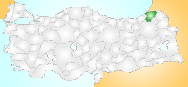
subdivision_type1=Region
subdivision_name1 = Black Sea
population_total = 25624|population_footnotes=
urban population| =
population_as_of = 2000
population_footnotes =
population_density_km2 =
area_total_km2 = 1317|elevation_m = 1617|postal_code_type=Postal code
postal_code = 08700
blank_info = 08|blank_name=Licence plate
area_code = 466
leader_title=Mayor
leader_name = ADİL AYDIN, lawyer and notary CHP
website = http://www.savsat.bel.tr/
leader_title1=Governor
leader_name1 = HASAN YAMAN
gwebsite = http://www.savsat.gov.trŞavşat (Georgian: შავშეთი (Latin transliteration: Shavsheti)) is a town and district of
Artvin Province in the Black Sea region, between the cities ofArtvin andKars on the border with Georgia at the far eastern end ofTurkey .Geography
Like most districts of Artvin this is a beautiful hilly area surrounded by high mountains on all sides, including the 3,537 m Karçkal mountains to the west, and watered by many mountain streams and pools. There are trout in the largest, Şavşat Karagöl lake and a number of mineral water springs. The area has a cold inland climate, somewhat tempered by being above the
Black Sea coast, but at these altitudes winter lasts a long time; it snows from November to April. The mountains are covered with pine forest, with some broadleaf forest at lower elevations.In this landscape there is little agricultural land, no industry and the only real potential income is from tourism (people on trekking holidays), herding animals on the mountainside and beekeeping. There are some fruit trees (mainly pears and apples) and some potatoes are grown in the
Çoruh River valley floor. Of the land area 13% can be planted while 27% is used for grazing, 42% is forest and 17% is high mountain.The town of Şavşat is small (population 7,325) and has few amenities.
History
This area was occupied by the
Cimmerians and theUrartu from 900 to 650 BC and later by theAncient Romans andSassanids . At the tıme of alexander the great ,kıpçak Turks and bunturkis defend this area.It was then one of the Georgian princedoms in the constellation of several polities in historical southwestern Georgia and part of northwestern
Armenia , which is conventionally known asTao-Klarjeti . Theprincedom of Shavsheti included today's districts of Şavşat,Borçka , andMurgul in Turkey and Lower Machakheli inAdjara (Georgia}.This lasted until it was conquered by the Ottomans in
1547 .Following the
Russo-Turkish War (1877-1878) Şavşat was among the territories left toRussia , and was returned to the new Republic of Turkey in 1921. Many of the people of Şavşat today are ethnically kıpçak Turks,butthere are some georgiansat the especially in the border district ofImerkhevi .Places of interest
*
Papart forest
*Genciyan Hill, overlooks the border and theBinboğa lakes.
* Şavşat Karagöl lake, a large trout lake in the forest, and the crater lake ofKuyruklu .External links
* [http://www.lahana.org/blog/Savsat.htm Info and travel tips about villages of Şavşat]
* [http://www.savsatforum.com SavsatForum]
* [http://www.savsat.gov.tr Governor's Office]
* [http://www.savsat.bel.tr/ the Municipality]
* [http://www.yerelnet.org.tr/iller/ilce.php?il_adi=ARTV%DDN&ilce_adi=%DEAV%DEAT local information] tr icon
Wikimedia Foundation. 2010.